Why Should Your Business Embrace Drone 3D Mapping Services for Enhanced Insights?
In a world where technology is revolutionizing every facet of our lives, it’s no surprise that even the way we gather information about our surroundings has evolved. Welcome to the era of drone mapping services – a game-changer that’s reshaping industries across the board. At Professional Drone Services of Texas, we’re taking this innovation to new heights, quite literally. With our state-of-the-art aerial 3D mapping services, we’re not just providing data; we’re handing you a new perspective on efficiency, accuracy, and insights.
Accurate Insights, Every Time
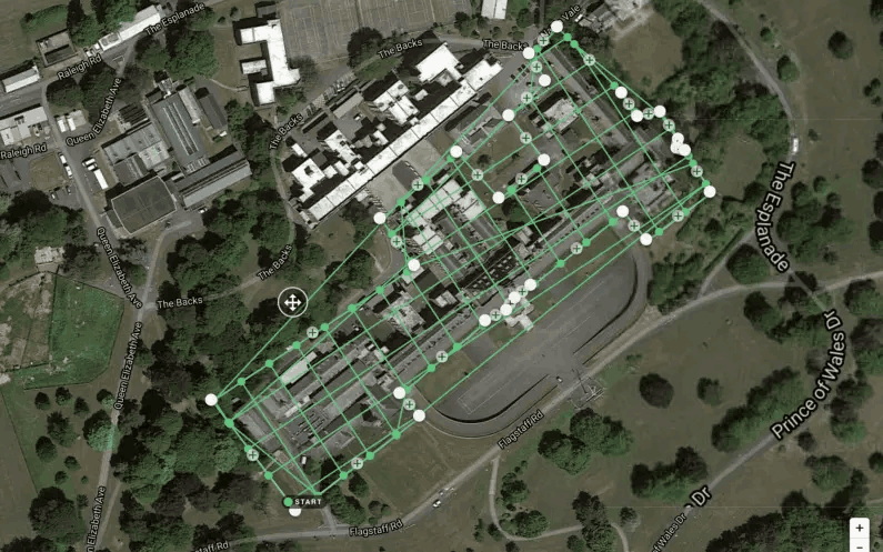
Imagine having the ability to capture detailed and accurate data of sprawling areas without any room for error. That’s precisely what drone 3D mapping brings to the table. Whether it’s a large-scale construction site or an expansive agricultural landscape, our drones meticulously capture every inch, ensuring that the data you receive is as precise as a master craftsman’s touch.
Swift Data Collection, Instant Results
Time is money, and in industries where decisions need to be made promptly, speed is paramount. Drone mapping services shatter the traditional barriers of time-consuming data collection. With our cutting-edge drones equipped with advanced sensors, we gather information swiftly, translating into quicker insights, faster project completion, and ultimately, a competitive edge for your business.
Savings Soar, Expenditures Plummet
Traditionally, aerial surveys demanded substantial resources, often burdening businesses with hefty costs. Enter drone 3D mapping, where costs take a nosedive while capabilities skyrocket. By eliminating the need for expensive aircraft or labor-intensive ground surveys, our services offer an incredibly cost-effective solution that doesn’t compromise on quality.
Risk-Free Exploration from Afar
Some areas are simply too hazardous for human exploration. Be it inaccessible terrains or structurally unstable sites, sending in a human workforce poses significant risks. Drone mapping swoops in as the superhero of safety, allowing you to gather vital data from a safe distance. Minimize risks, maximize insights – it’s a win-win situation
Predictive Analysis, Real-Time Decision-Making
In a world driven by data-driven decisions, having insights into the future can be a game-changer. Drone 3D mapping doesn’t just provide a snapshot of the present; it equips you with the tools for predictive analysis. By tracking changes over time, you gain the power to make informed decisions that aren’t just reactive but proactive.
The Sky’s the Limit: Rise Above with Professional Drone Services of Texas
In a world that’s evolving faster than we can imagine, the key to success lies in staying ahead of the curve. Professional Drone Services of Texas is your ticket to that edge. Our aerial 3D mapping services aren’t just a technological leap; they’re a leap towards unparalleled insights, efficiency, and growth. From precision to speed, cost-efficiency to safety, and predictive analysis to future-focused decisions, our drones are revolutionizing the way industries operate. Embrace the sky-high potential of drone mapping services and ascend to a realm of possibilities that knows no bounds. Let’s soar together towards a future where the sky’s not the limit – it’s just the beginning!