
Drone Inspection Services in Houston, TX

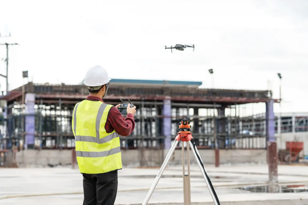
Professional Drone Services of Texas provides high-tier Drone Inspection Services in Houston, TX, for construction, energy, engineering, and industrial sites. Our FAA-certified pilots utilize advanced thermal scans, high-resolution imagery, and orthomosaics to produce survey-grade point clouds and CAD-ready files. We empower your team to safely assess critical assets and track site progress without the risks and costs of manual inspections.

WHAT CAN WE DO FOR YOU?

Check Out Our Services in Houston, TX

Whether you’re running a build in the Energy Corridor or maintaining assets along the Ship Channel, our drone services hand you clear, usable data instead of raw footage. We cover precision mapping, thermal inspections, asset assessments, and survey support for engineering, construction, and energy teams who need results solid enough to defend to clients and regulators. 

Drone Inspection

Drone Inspection: We inspect industrial facilities, construction sites, energy infrastructure, and other critical assets using visual and thermal imaging. You get a close look at hard-to-reach areas like rooftops, flare stacks, tank exteriors, and structural steel, so you can catch problems early and plan maintenance before small issues turn into a shutdown. 

Drone Aerial Photography

Drone Aerial Photography Services

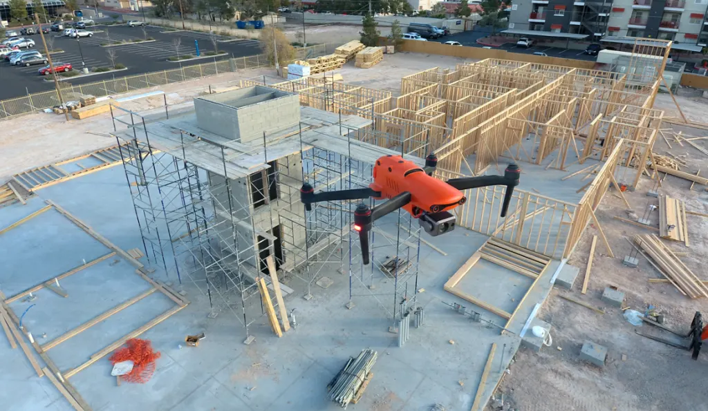
We provide professional Drone Aerial Photography for commercial developments, active construction sites, engineering projects, and industrial facilities in high resolution. These images are essential for progress reports, client updates, and permitting documentation, ensuring everyone from the site superintendent to the ownership group is aligned with a single flight.

Drone Thermal Imaging

Drone Thermal Imaging Services in Houston

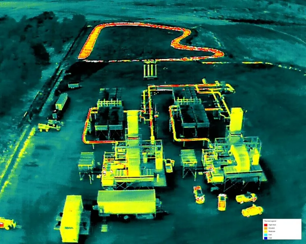
Drone Thermal Imaging: Thermal drones pick up what the eye misses: overheating electrical connections, failing mechanical equipment, moisture trapped under roofing, and heat loss across a building envelope. For commercial, industrial, and electrical sites around Houston, that means catching a bad breaker or a wet roof before it becomes an outage or a full tear-off. 

Drone Mapping & Photogrammetry

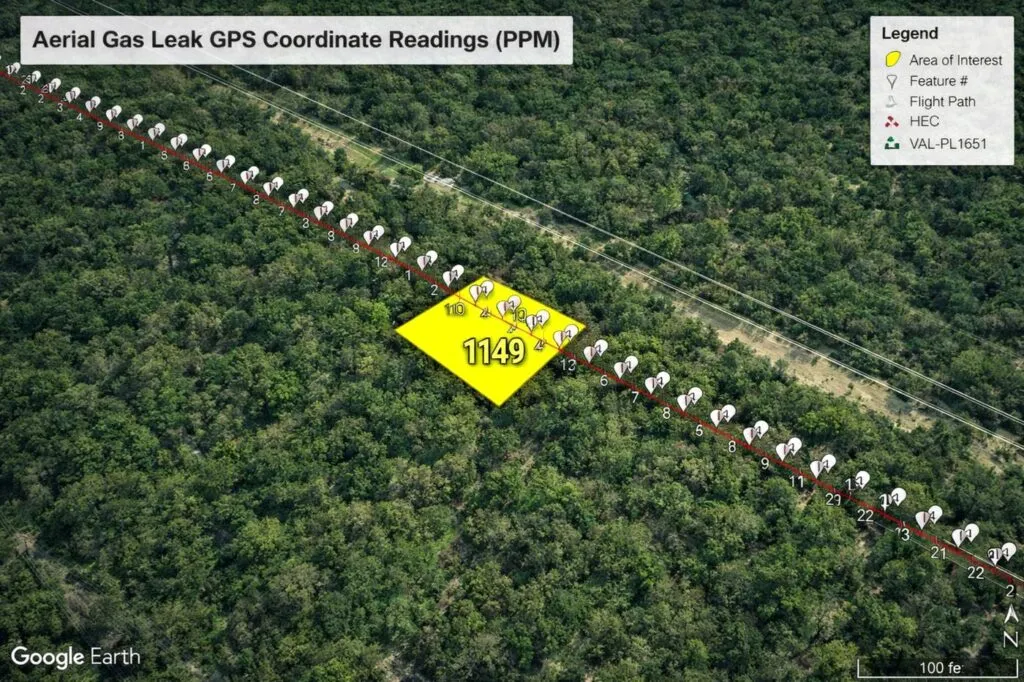
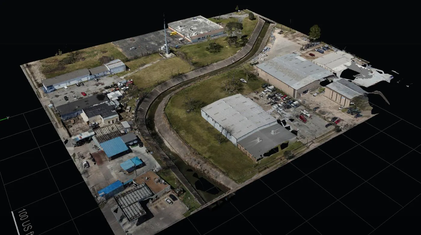
Drone Mapping & Photogrammetry: We turn drone flights into survey-grade point clouds, 3D models, orthomosaics, and CAD-ready deliverables for engineering, construction, and infrastructure work. Your design team gets files that drop into their existing workflow with an accuracy that holds up for volume calculations, site planning, and as-built comparisons on large developments. 

LEARN MORE ABOUT US

Who are we?

Professional Drone Services of Texas is a premier provider of Drone Inspection Services in Houston, TX, supporting engineering, construction, industrial, and energy organizations across the metro area. We operate to strict FAA commercial standards, delivering precise, actionable data in formats your project managers actually use. Instead of receiving raw, unorganized imagery, you gain clear, insights-driven reporting that allows your team to make informed, efficient decisions on site.

Our Key Deliverables:

Why Choose Professional Drone Services of Texas

Reasons to Trust

Our FAA-certified pilots handle both the flight and the data, so your inspection results are reviewed by people who know what they’re looking at.

Your Best Choice

Fully insured and flying to FAA rules, we deliver mapping, thermal, orthomosaics, and CAD-ready files most engineering teams can use as is.

Right Choice for You

We work with engineering, construction, and energy pros who need aerial data solid enough to base real decisions and reporting on.

Professional

From thermal scans to point clouds, we check every deliverable before it reaches you, so what you get is field-verified, not raw drone output.

Google Review

Write a Review

Top Rated Drone Inspection Services in Houston, TX

Houston’s construction, energy, and industrial teams consistently trust us because we prioritize absolute reliability and technical precision. As a top-rated provider, we deliver flights done right the first time, ensuring every data set is scheduled, verified, and ready for immediate engineering use. Our client-focused approach eliminates guesswork, providing professional reporting that meets the rigorous standards of the metro area’s most demanding sectors.

Check Out Our Gallery

Proudly Serving Houston, TX & The Texas Gulf Coast

Our crews are based around Houston and regularly travel throughout the Texas Gulf Coast, supporting teams that work along the Ship Channel, in the Energy Corridor, and at job sites in Pasadena, Baytown, Katy, Sugar Land, and The Woodlands. Whether your facility sits near Galveston Bay or out past the Beltway, we plan each flight around your schedule, site access rules, and Gulf Coast weather. Every site visit ends with organized, field-checked data your engineers and project managers can use right away. Call (832) 856-8556 to talk through your location and timeline, and we will let you know how quickly we can get a crew on site.

Drone Aerial Photography Services in Houston

Call Us Now

Got a project coming up? Call Professional Drone Services of Texas and tell us what you need inspected, mapped, or photographed around Houston. We’ll walk through the site, the deliverables, and the timeline, then get you a quote with no guesswork about what you’re paying for. Reach us at (832) 856-8556 to get on the schedule.

Frequently Asked Questions

What do drone inspection services in Houston, TX include?
Our drone inspection services in Houston cover visual and thermal imaging of industrial facilities, construction sites, and energy infrastructure. We capture high-resolution imagery of rooftops, flare stacks, tank exteriors, and structural steel, then deliver organized reports your team can act on right away.
Drones reach rooftops, tall structures, and hard-to-access areas without scaffolding, lifts, or workers at height. That lowers safety risks and cost while speeding up turnaround. You get close-up, repeatable data that helps your team catch issues early and plan maintenance before a small problem becomes a shutdown.
Yes. Professional Drone Services of Texas operates to FAA commercial standards with FAA-certified pilots, and we are fully insured. The same pilots who fly your site handle the data, so your inspection results are reviewed by people who understand what they are looking at, not just raw drone footage.
Yes. Thermal drone inspection in Houston can reveal overheating electrical connections, failing mechanical equipment, moisture trapped under roofing, and heat loss across a building envelope. Catching a bad breaker or a wet roof early helps you avoid outages, emergency repairs, and a costly full tear-off.
What deliverables will I receive after an inspection?
Depending on the project, you receive thermal inspection reports, high-resolution imagery, orthomosaics, accurate point cloud data, CAD-ready files, and executive project reporting. Every deliverable is checked before it reaches you, so your engineers and project managers can use it directly in their existing workflow.

We support construction, energy, engineering, and industrial teams across the metro area, from builds in the Energy Corridor to assets along the Ship Channel. Our data is built to be solid enough to defend to clients and regulators, whether you need progress tracking, asset assessments, or survey support.

Absolutely. Regular flights document site progress with high-resolution imagery, orthomosaics, and 3D data. Superintendents, owners, and engineers see the same up-to-date view, which supports progress reports, client updates, and permitting documentation, and helps you compare as-built conditions against plans on large developments.
Call (832) 856-8556 or use the Request a Quote page. Tell us what needs to be inspected, and we will walk through the site, deliverables, and timeline, then provide a clear quote so there is no guesswork about what you are paying for. We are open seven days a week.

CONTACT US

You Can Contact Us Any Time

Request a Quote