
Drone LiDAR Services
Laser-pulse sensors mounted on UAS platforms generate precise 3D point clouds of terrain, structures, and infrastructure — accurate to centimeters, delivered fast.
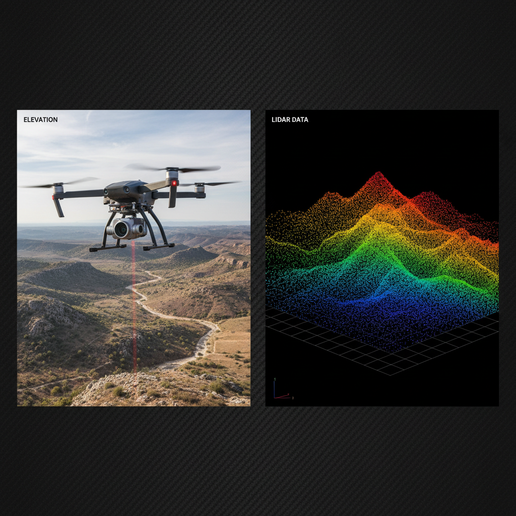
What Is Drone LiDAR?
LiDAR (Light Detection and Ranging) works by firing rapid pulses of laser light toward a surface and measuring the exact time each pulse takes to return. From millions of these measurements per second, the sensor builds a dense 3D point cloud — a precise geometric model of everything below the drone. LiDAR measures distance and shape. It does not detect heat, color, or visual texture. The result is an accurate three-dimensional representation of terrain, structures, or vegetation that can be used for engineering, planning, and analysis.
How LiDAR Differs from Photogrammetry
Photogrammetry builds 3D models by processing overlapping photographs — it depends on visible light and surface texture. LiDAR fires its own laser pulses and does not rely on ambient light or surface appearance at all. This makes LiDAR the preferred choice in low-light conditions, under dense vegetation canopy, and on surfaces that are difficult to photograph accurately. Where photogrammetry produces a textured visual model, LiDAR produces a raw geometric point cloud with higher positional accuracy for engineering-grade deliverables.
Topographic Surveys & Terrain Modeling
Drone LiDAR captures bare-earth terrain models even through vegetation, making it the standard tool for topographic surveys on sites where ground crews would take days to cover. A single flight produces a high-density point cloud that is processed into digital terrain models (DTMs), digital elevation models (DEMs), and contour maps used directly in civil engineering and site planning workflows.
Volumetric Calculations & Earthwork
LiDAR point clouds provide the geometric accuracy required for reliable volumetric calculations — stockpile measurements, cut-and-fill earthwork estimates, and grading verification. Because LiDAR measures actual 3D geometry rather than inferring it from photographs, the resulting volume calculations meet the precision standards required for contractor billing, regulatory reporting, and project closeout documentation.
Structural & Infrastructure Modeling
Beyond terrain, drone LiDAR captures the precise geometry of structures, bridges, towers, and utility corridors. The resulting point clouds feed directly into BIM workflows, structural analysis software, and as-built documentation. For infrastructure owners, LiDAR provides a permanent geometric record of assets that can be compared against future scans to detect deformation, settlement, or change over time.
Fast Mobilization Across Texas
Professional Drone Services of Texas deploys LiDAR-equipped UAS across the state — from large-scale land development surveys in the Hill Country to infrastructure corridor mapping along the Gulf Coast. Our FAA-certified pilots and survey-grade processing workflows deliver point clouds, terrain models, and engineering deliverables on timelines that keep your project moving.
Applications
- Topographic surveys and terrain modeling
- Digital elevation models (DEM / DTM)
- Volumetric stockpile measurements
- Cut-and-fill earthwork calculations
- Vegetation canopy and bare-earth mapping
- Bridge and structure geometry capture
- Utility corridor and pipeline mapping
- As-built documentation and BIM input
Request a Project Quote
We typically respond within 30 minutes during business hours.