Commercial Real Estate Drone Services in Texas


Professional Drone Services of Texas provides high-quality aerial photography, video, and mapping services for commercial real estate across Houston and statewide.
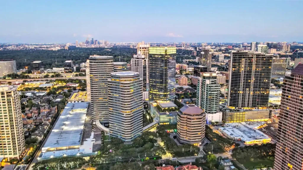
We help brokers, developers, and property owners showcase assets, track development, and present sites with clarity that drives faster decisions.
From single-site listings to large-scale developments, our aerial media provides a clear, comprehensive view of each property. We capture not just the structure, but the surrounding infrastructure, access points, nearby retail, traffic patterns, and overall context — giving buyers and investors the full picture.
Our team works with commercial real estate professionals who need reliable, repeatable content for marketing packages, offering memorandums, and investor presentations. Whether you’re showcasing a stabilized asset or marketing raw land for development, we deliver imagery that helps communicate value quickly and effectively.
In addition to photography and video, we provide mapping and site documentation that supports planning and analysis. Orthomosaic maps, annotated aerials, and 3D models allow your team to measure, plan, and present projects with a higher level of precision — all without waiting on traditional survey timelines.
We understand that timing matters in commercial real estate. That’s why we offer fast scheduling, quick turnaround, and consistent deliverables that align with your marketing and project deadlines.
Drone Real Estate Services
Aerial imagery gives buyers and investors a complete view of the property, surrounding infrastructure, access points, and nearby developments — something ground-level photos simply cannot provide.