Industries
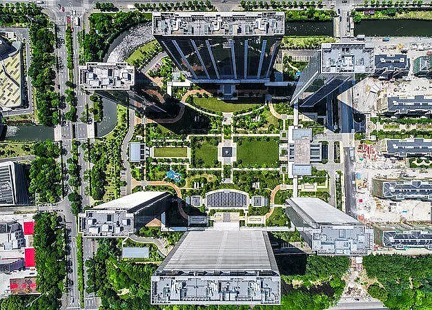
Commerical Real Estate
Turn your commercial property into a high-impact listing with professional drone photography and cinematic aerial video designed to attract serious buyers. We don’t just take photos—we showcase your property’s location, access, surrounding development, and full scale to position it the right way in front of investors, developers, and decision-makers. The result: more qualified interest, stronger offers, and faster-moving deals—without competing on price.
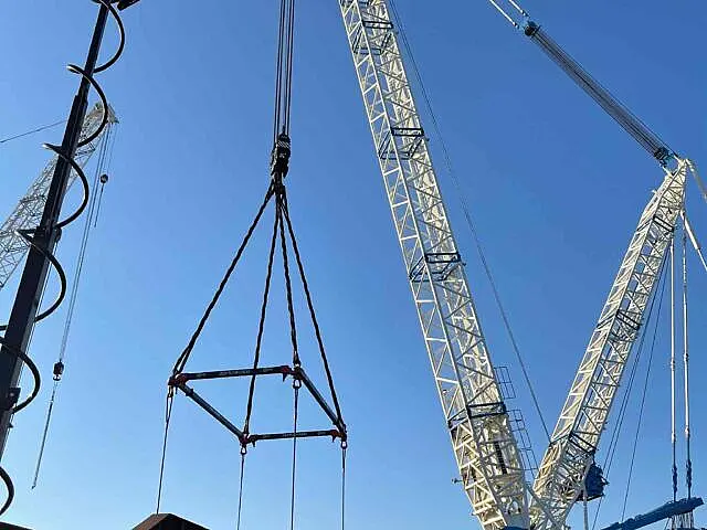
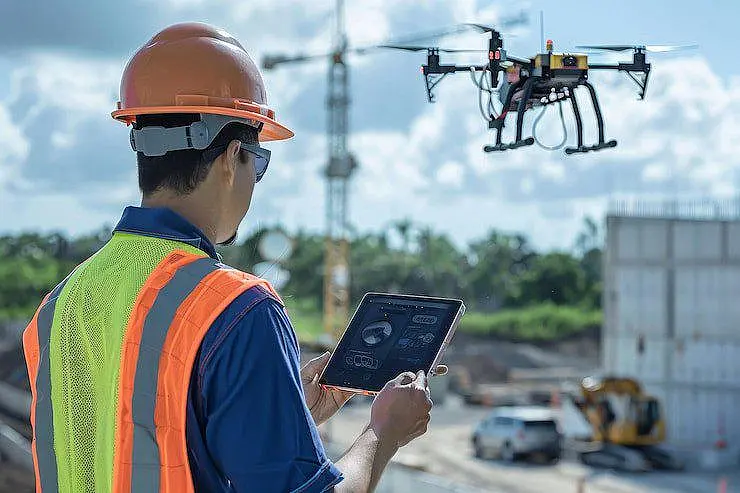
Construction
Traditional data collection methods are slow, expensive, and risky. Drone-based data capture delivers faster, safer, and more cost-effective site insights—without the delays of ground surveys or full-sized aircraft. We replace time-consuming field work with high-accuracy aerial mapping and imaging, giving project managers, engineers, and stakeholders real-time data they can act on with confidence. The result: better visibility, faster decisions, stronger documentation, and projects that stay on schedule—without unnecessary risk or downtime.

Marketing / Promotion / Documentation
Elevate your event marketing with high-impact aerial photography and cinematic 4K video designed to capture attention and showcase the full scale of your event. We go beyond standard coverage—delivering dynamic visuals that highlight crowd energy, layout, and key moments to create content that stands out across marketing, social media, and promotions. The result: stronger engagement, more visibility, and event coverage that leaves a lasting impression with your audience and sponsors.
Commercial Inspections/Insurance
We provide advanced drone inspection services for commercial and industrial assets, delivering high-resolution aerial imagery and thermal inspections quickly, safely, and without operational disruption. Our drone inspections help identify issues early, document asset conditions with precision, and support informed decisions across maintenance, insurance claims, and facility operations. No ladders, no downtime—just efficient, data-driven inspection results you can trust.