


LEARN MORE ABOUT US
Who are we?
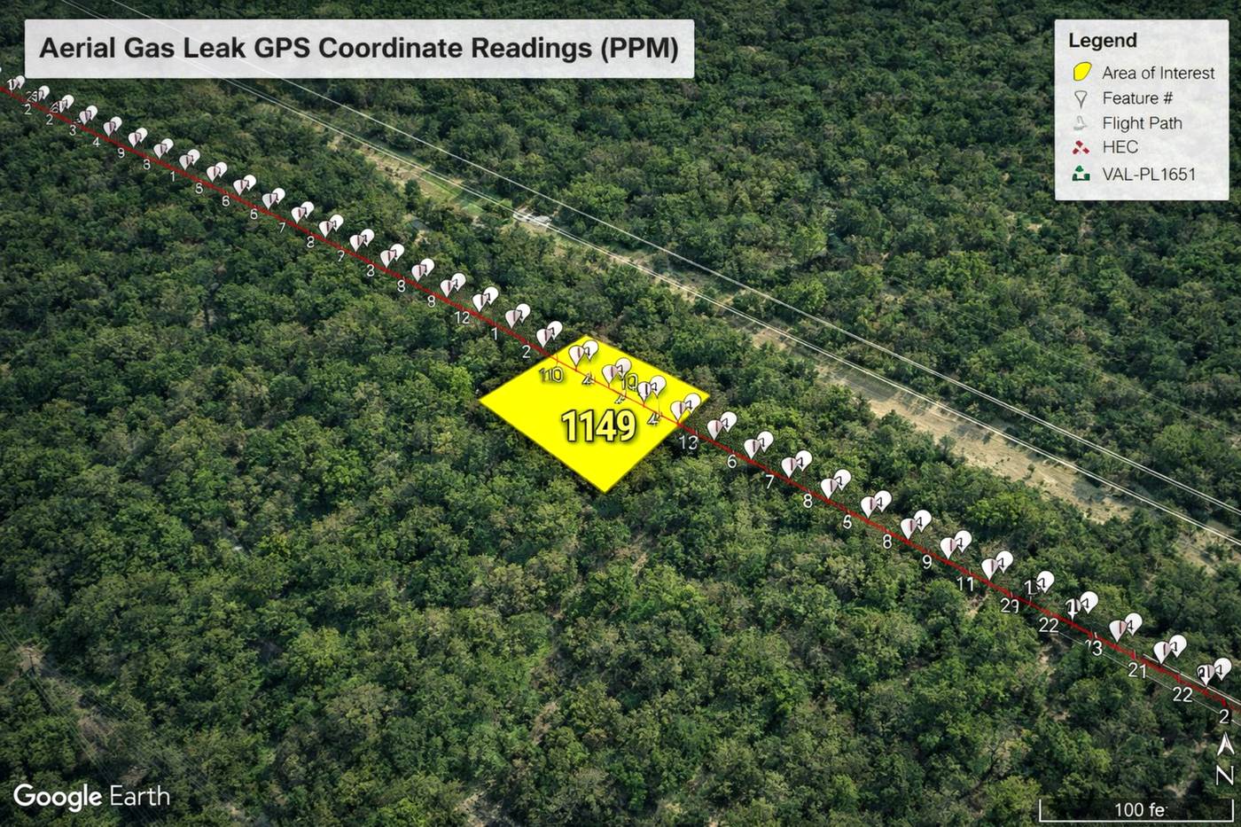
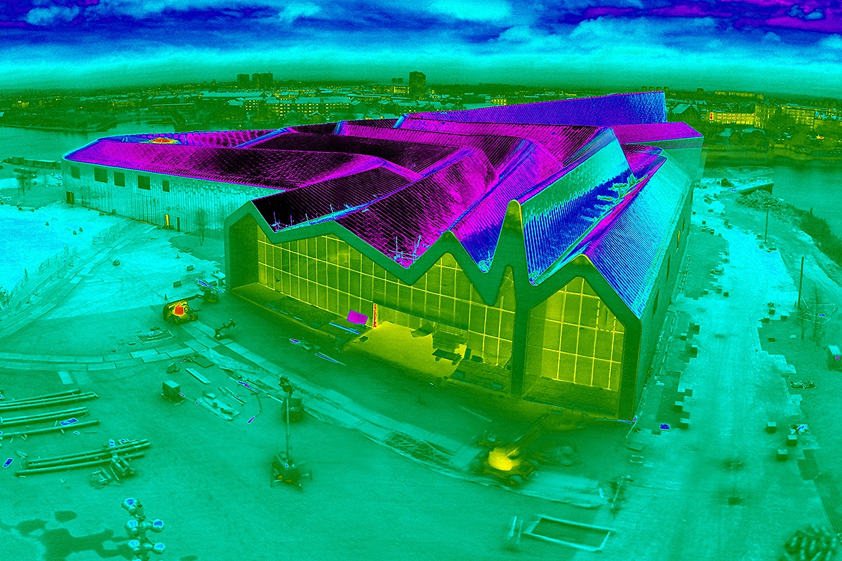
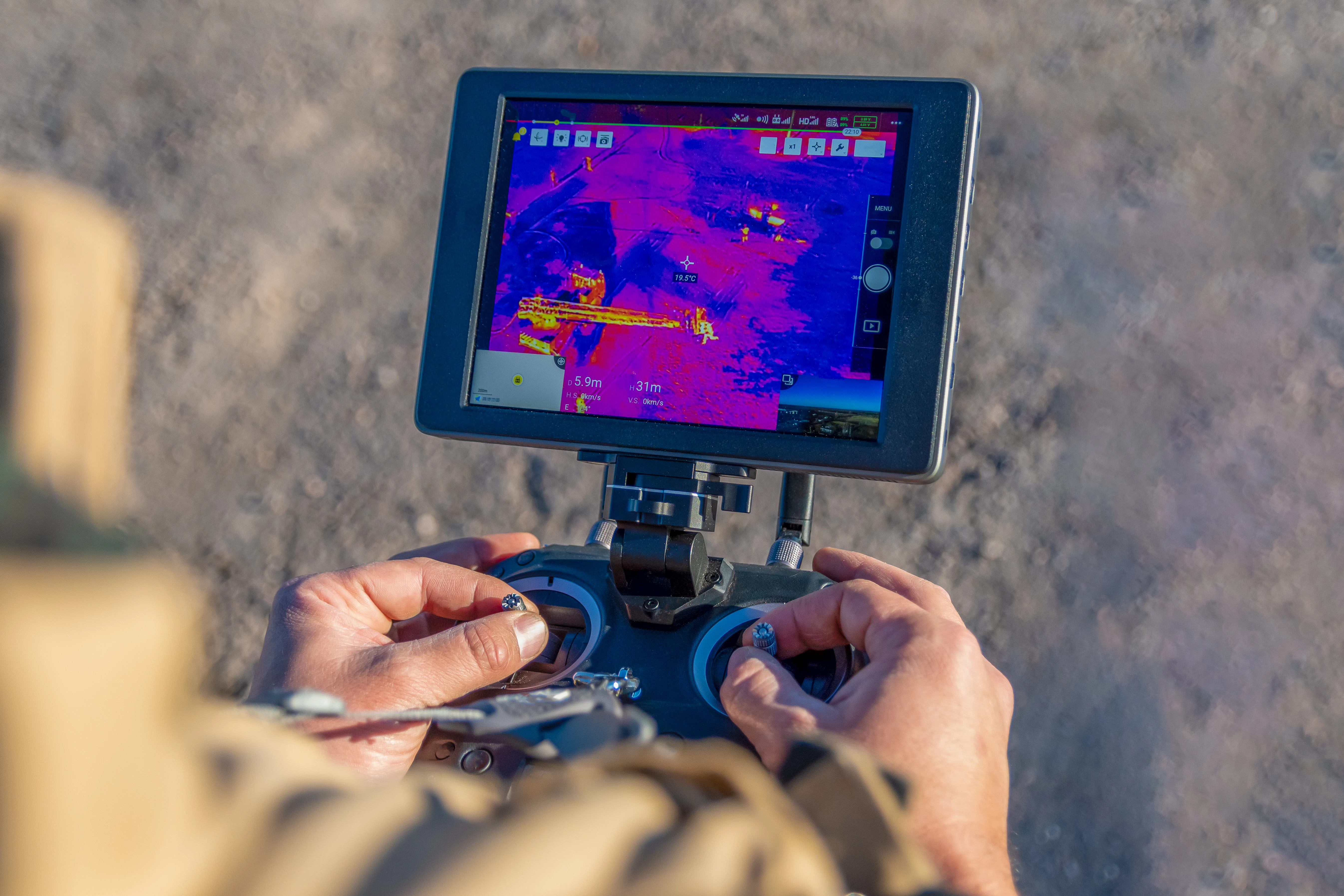
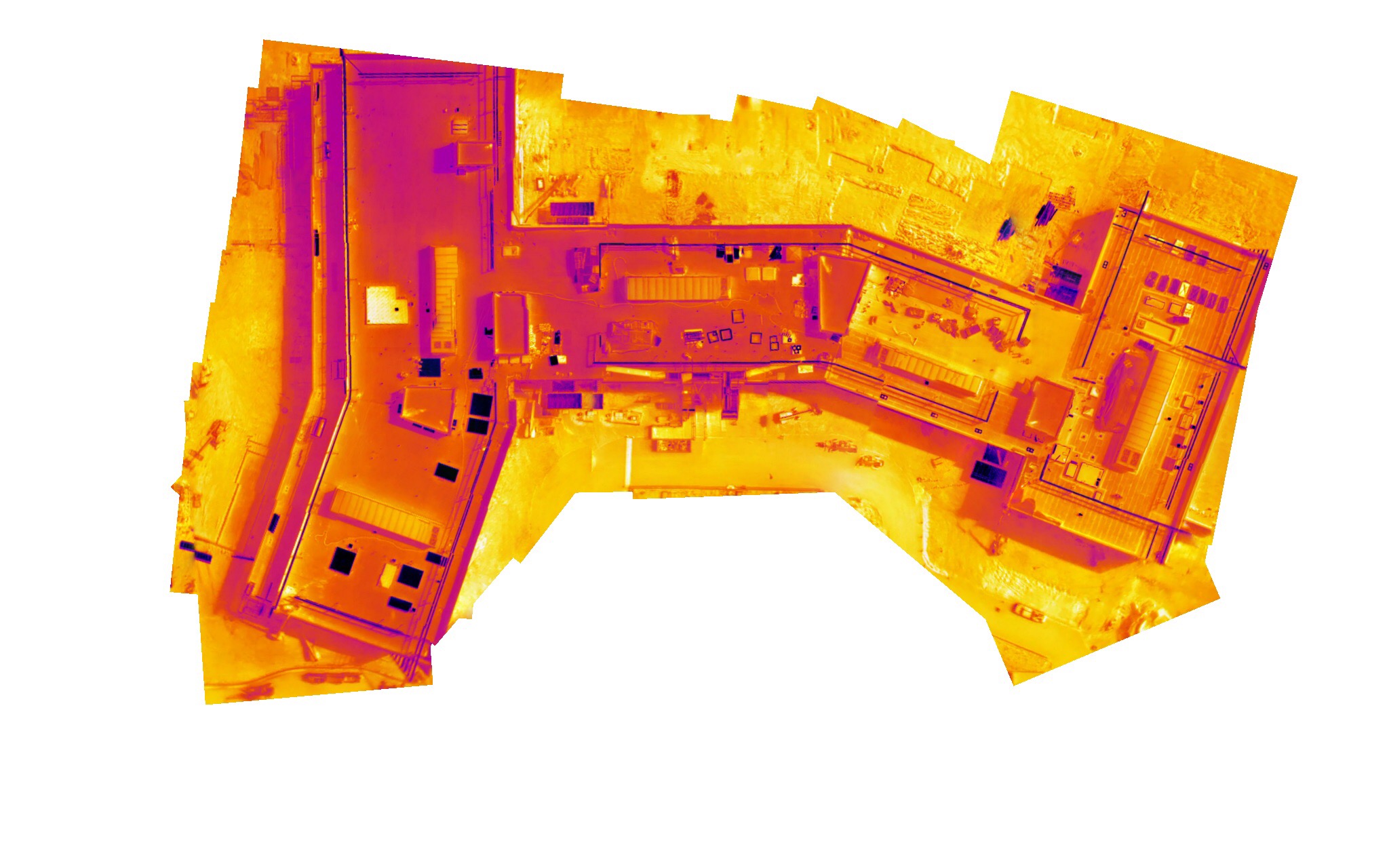
Professional Drone Services of Texas is a commercial drone company serving Dallas-Fort Worth, working with energy, commercial, and industrial operations across the metroplex. We provide infrared drone inspection in Dallas to FAA commercial standards, specializing in thermal work, so the temperature data you collect on a substation, a data-center system, or a warehouse roof is accurate enough to act on with confidence.
Our Key Deliverables:
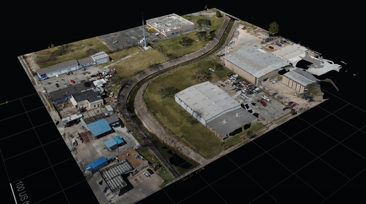
- Professional Orthomosaic Data
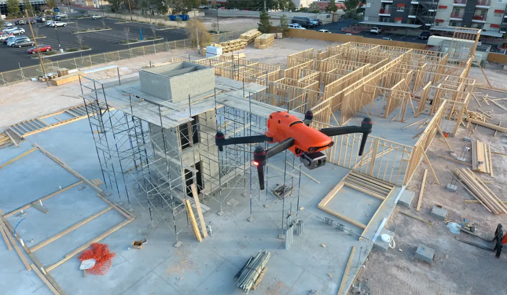
- Construction Documentation
- Accurate Point Cloud Data
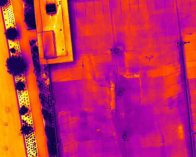
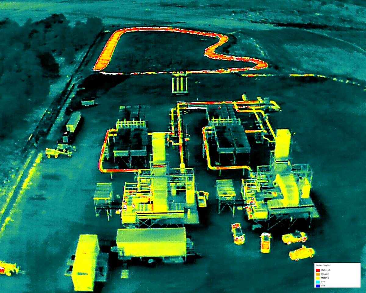
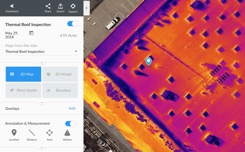
- Thermal Inspection Reports
- CAD-Ready Deliverables
- Executive Project Reporting
- Construction Progress
- Engineering Reports
- Professional Orthomosaic Data
- Accurate Point Cloud Data
- CAD-Ready Deliverables
- Construction Documentation
- Thermal Inspection Reports
- Executive Project Reporting
- Construction Progress
- Engineering Reports

