Drone Mapping & Photogrammetry Services in Dallas, TX

Professional Drone Services of Texas provides commercial drone mapping services in Dallas, TX for engineering, construction, and industrial development projects across the metroplex. Our FAA-certified pilots fly the site and turn the imagery into survey-grade orthomosaics, dense point clouds, terrain models, and CAD-ready files your design team can build on, whether you’re grading a warehouse pad site, laying out a master-planned community, or tracking earthwork volumes across a large commercial development.

Industries We Support

Commercial Drone Mapping

Asset Inspection

Construction

Engineering

Energy

Survey Support

WHAT CAN WE DO FOR YOU?

Check Out Our Services in Dallas, TX

Dallas-Fort Worth develops on a huge scale, and a lot of that work sits on flat prairie that has to be graded, drained, and laid out before anything goes vertical. Our photogrammetry services in Dallas turn drone flights into measured, reliable data for that stage, giving contractors, engineers, and energy teams accurate topographic models and volumes, so you’re planning and bidding from real site conditions instead of an outdated survey.

Drone Inspection

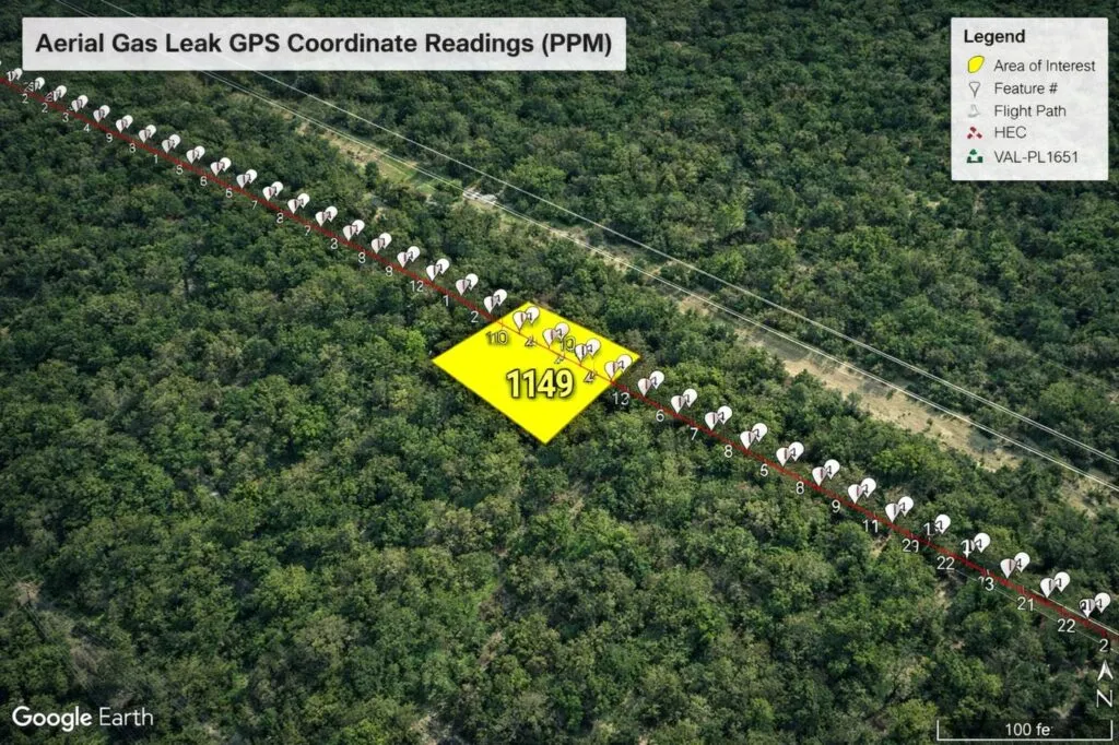
Drone methane gas leak detection along oil and gas pipeline using aerial mapping and GPS data

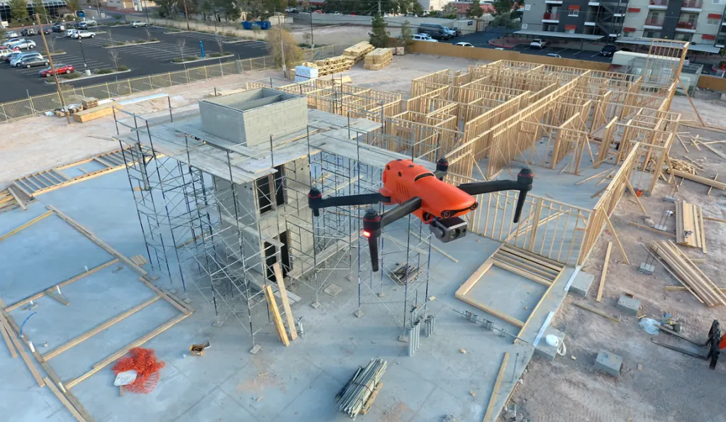
We also run commercial drone inspections of industrial structures and infrastructure across the metroplex, capturing high-resolution imagery for detailed engineering reports. It’s a safe, efficient way to find critical maintenance needs on tall or hard-to-reach assets without the cost of downtime.

Drone Aerial Photography

Our drone aerial photography documents major construction milestones on large Dallas job sites. We capture accurate, dated imagery to update stakeholders and build clear executive reports, giving your team a reliable visual record of the project as it moves.

Drone Thermal Imaging

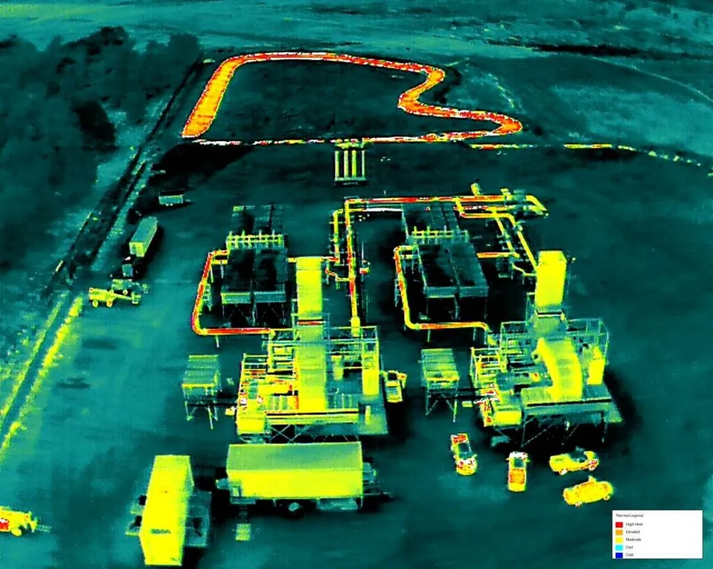
With drone thermal imaging, we catch hidden system faults and heat loss fast. We scan solar fields, pipelines, and roofs and deliver radiometric thermal reports, so your team can keep DFW industrial operations running safely and catch problems before they cause a breakdown.

Drone Mapping & Photogrammetry

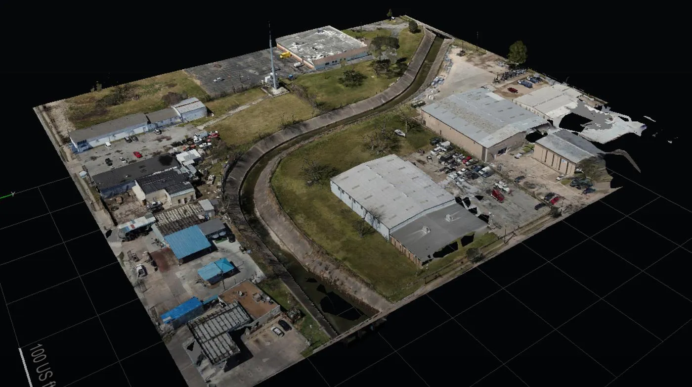
Drone surveying and 3D mapping for infrastructure and land development showing aerial site model and construction layout

This is our focus. Our drone mapping in Dallas turns raw aerial data into high-resolution orthomosaics, 3D point clouds, terrain models, and CAD-ready files engineering teams can use right away. On the flat, fast-developing ground around Dallas, that accuracy matters most for grading, cut-and-fill, and pad-site volumes, where a small error moves a lot of dirt and money.

LEARN MORE ABOUT US

Who are we?

Professional Drone Services of Texas is a commercial drone company serving Dallas-Fort Worth, working with engineering, construction, industrial, and energy teams. We provide UAV mapping services in Dallas to FAA commercial standards and deliver data in the formats your team already uses, so what you collect on a warehouse pad, a development site, or an infrastructure corridor is accurate enough to base design and construction decisions on.

Our Key Deliverables:

Why Choose Professional Drone Services of Texas

Reasons to Trust

Industrial clients trust our FAA-certified pilots for precise mapping and CAD-ready files, delivered with a focus on safety and accuracy your engineering team can rely on.

Your Best Choice

Mapping, inspections, thermal, and CAD-ready files from one crew, so your commercial project’s data isn’t split across three separate vendors.

Right Choice for You

You get drone survey mapping in Dallas built for real use: accurate datasets and clear documentation that help minimize risk and keep your project on schedule.

Professional

Our FAA-certified pilots hold to strict industrial standards and use professional processing software to deliver clean CAD-ready models and executive reports.

Google Review

Write a Review

Top Rated Drone Mapping & Photogrammetry Services in Dallas, TX

Contractors, engineering firms, and asset managers across Dallas rely on our drone mapping services because the data holds up in the field: topographic models that line up, point clouds accurate enough for design, and volumes you can bid and budget against. From warehouse pad sites and master-planned developments to infrastructure corridors, we give DFW teams survey-grade mapping they can plan, bid, and build from with confidence.

Check Out Our Gallery

Call Us Now

Need accurate site data or construction tracking for a Dallas project? Contact Professional Drone Services of Texas and tell us what you’re mapping, whether it’s a pad site, a full development, or ongoing progress. We’ll go over the site, the deliverables, and the accuracy your design team needs, then get you a quote. 

CONTACT US

You Can Contact Us Any Time

    Request a Quote