Oil & Gas Infrastructure Inspections & Aerial Data Services
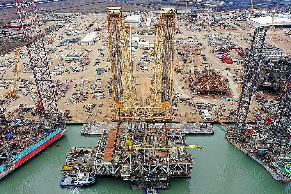
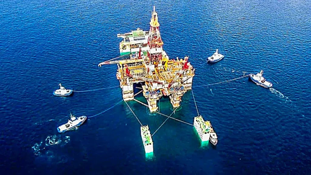
Drone-based inspection and mapping services provide critical visibility across oil & gas infrastructure, including pipelines, facilities, tank farms, and offshore assets.
Professional Drone Services of Texas delivers high-resolution aerial data, thermal imaging, and mapping outputs that support maintenance planning, safety compliance, and operational decision-making.
We routinely support:
Based in Houston, we provide rapid deployment across Texas and can scale operations for larger projects.
Our inspections are designed to reduce risk and improve visibility in environments where ground-based inspection is limited or unsafe.
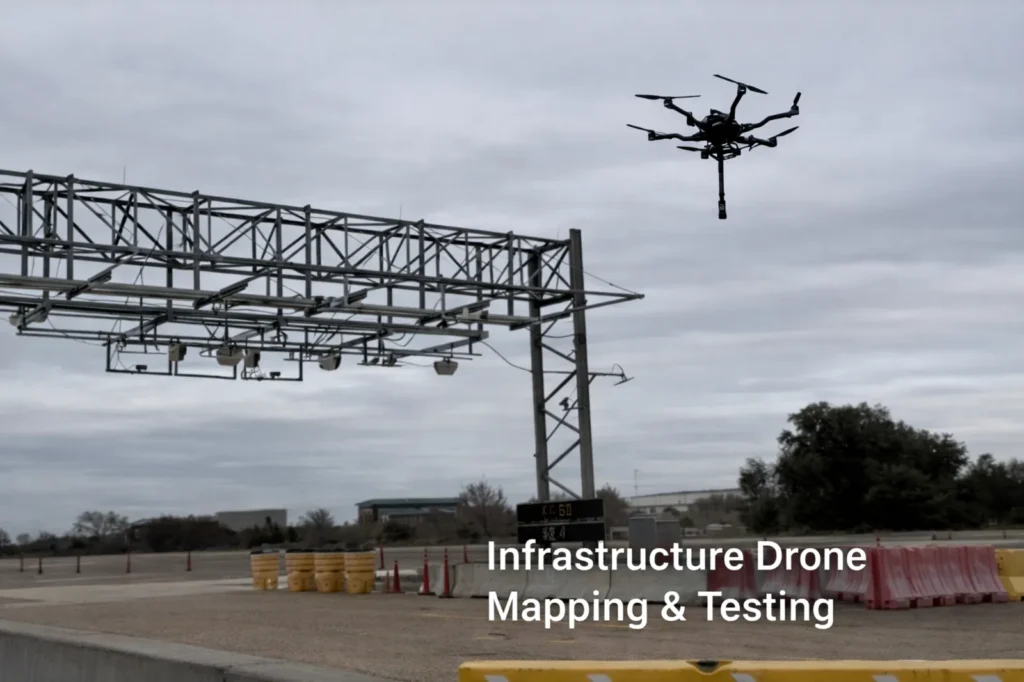
Drone data allows teams to identify issues such as structural anomalies, vegetation encroachment, thermal irregularities, and access constraints—without disrupting operations.
Typical deliverables include high-resolution imagery, Orthomosaic maps, thermal datasets, and CAD-compatible outputs for integration into existing workflows.
Whether inspecting remote pipeline corridors, monitoring facility conditions, or supporting emergency response, our team provides rapid deployment across Texas with data that engineering and operations teams can use immediately.