

Commercial Drone Services
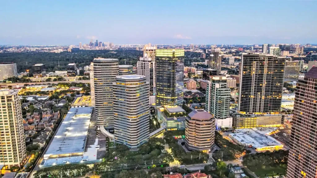
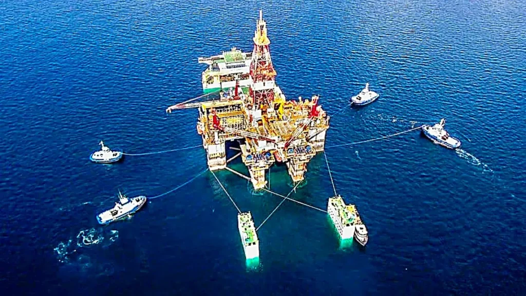
Professional Drone Services of Texas provides high-value aerial data services for construction, energy, infrastructure, and commercial real estate projects.
Our core capabilities include aerial mapping, thermal imaging, inspections, and high-resolution photography—delivering accurate data that supports engineering, operations, and asset management decisions.
We deliver professional drone inspections for construction sites, energy infrastructure, and commercial assets across Texas.
Using RTK-enabled drones and advanced sensors, we provide accurate, repeatable data for progress tracking, condition assessment, and documentation.
Traditional inspections often require scaffolding, cranes, rope access, confined-space entry, or shutting down operations.
Drone inspections offer significant advantages:
Depending on your project, we can provide:
We proudly support clients in:
Critical infrastructure requires accurate information and timely inspections. Professional Drone Services of Texas combines commercial drone technology with industry experience to deliver reliable aerial data that helps clients improve safety, reduce costs, and make informed maintenance decisions.
From routine inspections to emergency assessments after storms or equipment failures, we provide dependable aerial solutions for infrastructure and industrial assets across Texas.
Professional Drone Services of Texas
High-value aerial data, inspection, mapping, and industrial imaging solutions.
Our approach reduces risk, improves access, and delivers detailed visual and thermal data without disrupting operation
Professional Drone Services of Texas provides aerial inspection services for critical infrastructure and industrial facilities throughout Texas. Our drone-based inspections allow owners, engineers, and maintenance teams to safely evaluate assets that are difficult, dangerous, or expensive to access using traditional methods.
Using high-resolution optical cameras, thermal imaging, RTK positioning, and advanced aerial data collection, we deliver the information you need to identify defects, monitor asset conditions, plan maintenance, and document infrastructure with confidence.
Whether you’re responsible for industrial plants, energy facilities, pipelines, bridges, utilities, or manufacturing operations, our inspections provide fast, accurate, and actionable data while minimizing downtime and reducing safety risks.
Our team performs inspections for a wide range of critical assets, including:
Our drone inspections can identify and document:
Professional Drone Services of Texas is a firm run by industry-specific experts offering Drone Aerial Photography to provide customized solutions to your aerial imaging needs. Based in Houston, Texas, we offer quick and cost-effective thermal imaging, near-infrared imaging, 3D mapping and modeling, aerial videography and aerial photography. Our quality services have been tried and tested in various industries, and we are confident to offer your customized solutions in the following industries: public safety, oil and gas, ranching and agriculture, telecom, insurance, construction, business marketing and commercial real estate.
Professional Drone Services of Texas provides high-resolution thermal imaging inspections that detect hidden problems before they become expensive failures. Using advanced radiometric thermal cameras mounted on commercial UAVs, we safely inspect large facilities, rooftops, solar farms, industrial equipment, and electrical infrastructure without disrupting operations.
Thermal imaging identifies temperature differences that often indicate moisture intrusion, failing electrical components, insulation deficiencies, mechanical wear, and other issues invisible to standard photography.
Whether you’re managing commercial property, industrial facilities, construction projects, or energy assets, our inspections deliver actionable information that helps reduce downtime, improve safety, and support informed maintenance decisions.
Our thermal imaging services help identify heat anomalies, electrical issues, moisture intrusion, and gas leaks across industrial and commercial environments.
We provide radiometric data and actionable insights for maintenance teams, engineers, and asset owners.
Traditional inspections often require ladders, lifts, scaffolding, or personnel working in hazardous locations.
Drone thermal inspections provide: