


LEARN MORE ABOUT US
Who are we?
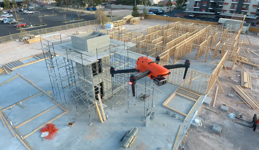
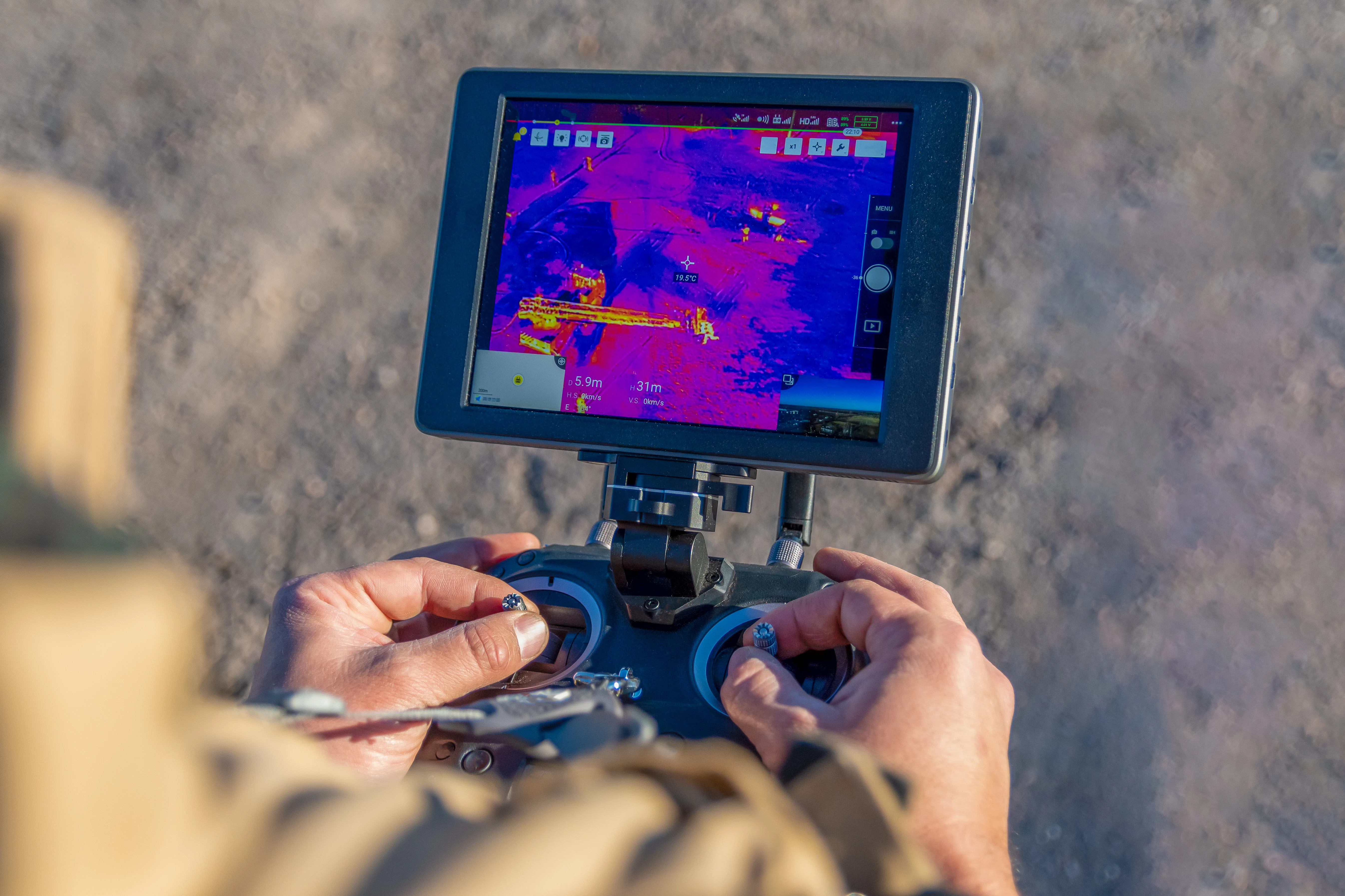
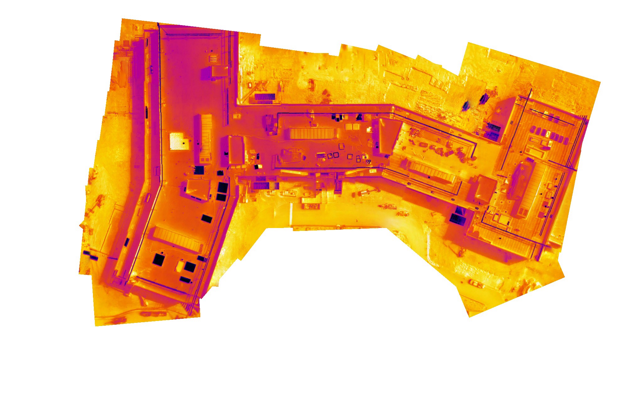
Professional Drone Services of Texas is a commercial drone company serving engineering, construction, industrial, and energy teams across San Antonio. We collect accurate aerial data for complex projects and deliver it in formats your team can put straight to work. From infrared thermal scans to full site surveys, our focus stays on getting you reliable results you can build real decisions on.
Our Key Deliverables:
- Professional Orthomosaic Data
- Construction Documentation
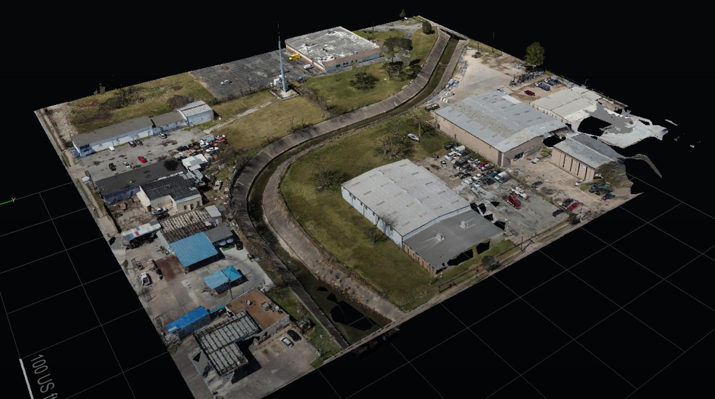
- Accurate Point Cloud Data
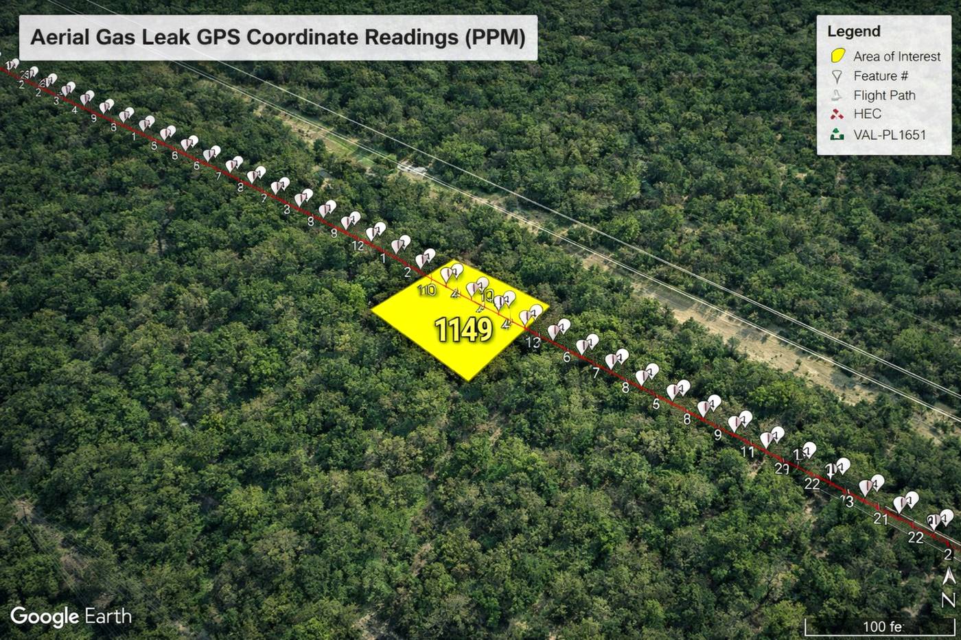
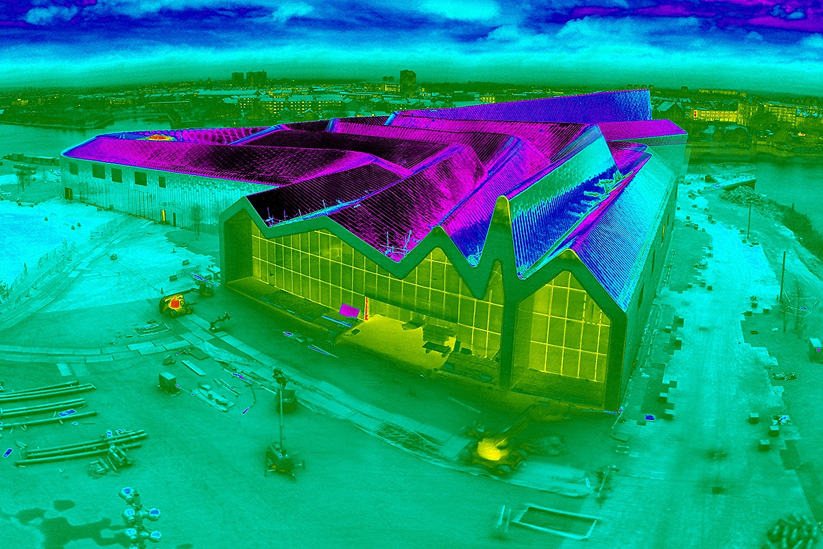
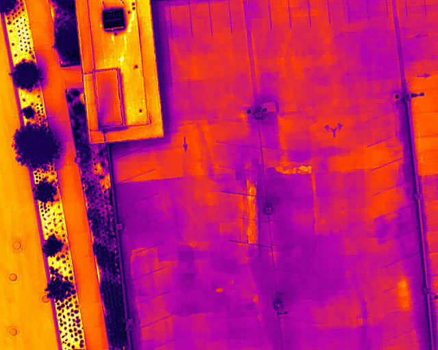
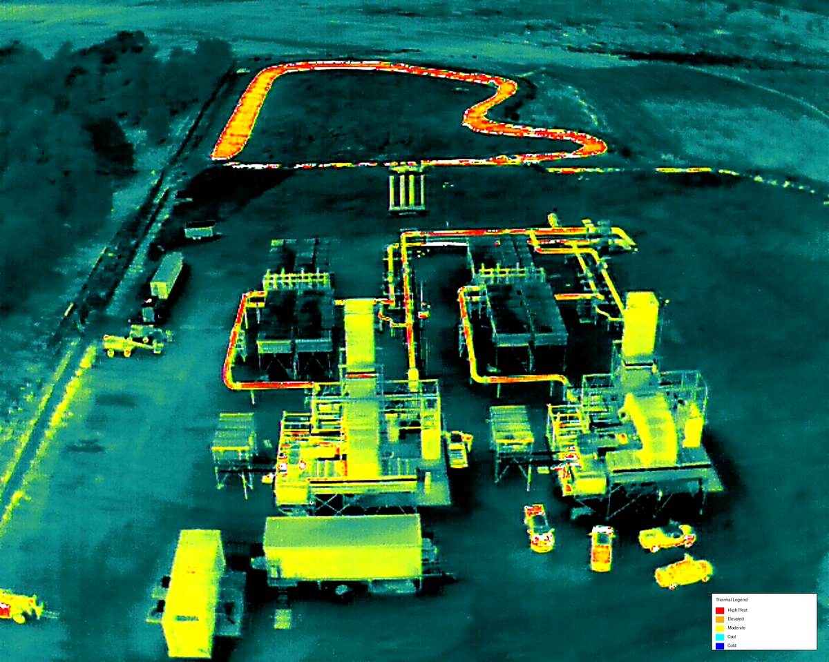
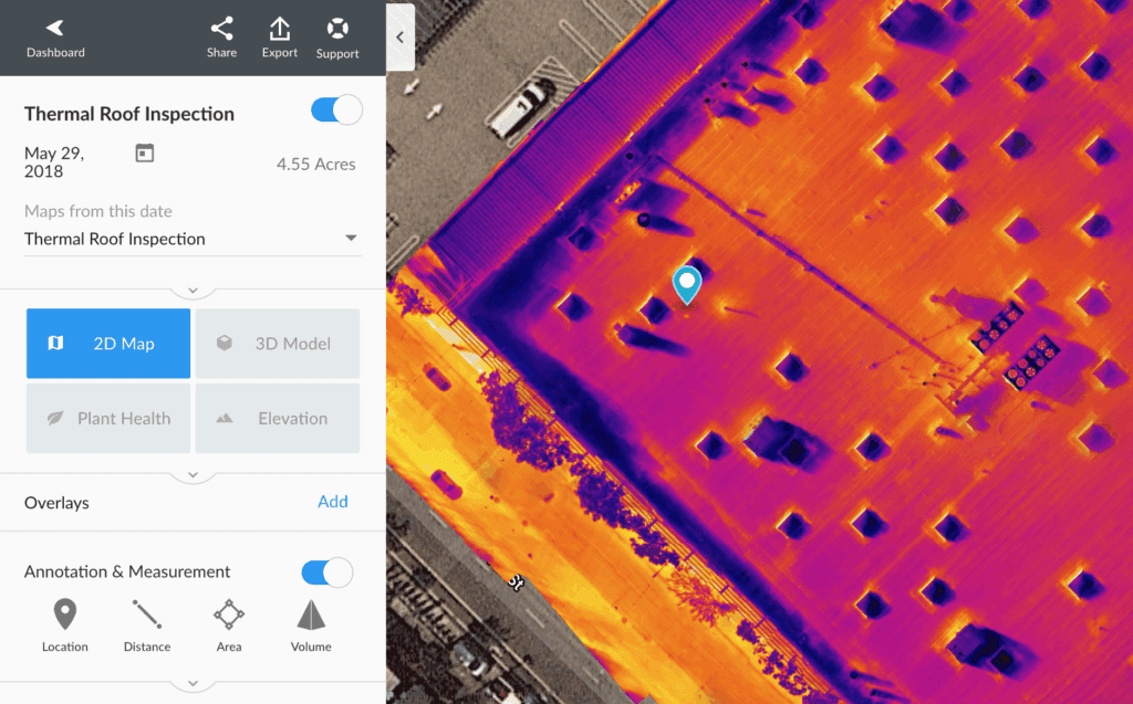
- Thermal Inspection Reports
- CAD-Ready Deliverables
- Executive Project Reporting
- Construction Progress
- Engineering Reports
- Professional Orthomosaic Data
- Accurate Point Cloud Data
- CAD-Ready Deliverables
- Construction Documentation
- Thermal Inspection Reports
- Executive Project Reporting
- Construction Progress
- Engineering Reports

