Why 3D Drone Mapping is Essential for Topographical Mapping Projects in Commercial Properties

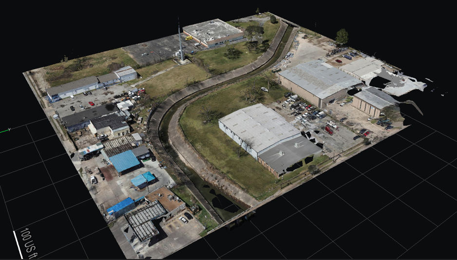
Topographical mapping is essential for large-scale construction, urban planning, and commercial development. Traditionally, creating accurate maps of land elevations and features required labor-intensive methods. However, 3D mapping drones have revolutionized this process, making it faster and more precise. With 3D drone mapping, professionals can now obtain detailed data over expansive commercial areas in a fraction … Why 3D Drone Mapping is Essential for Topographical Mapping Projects in Commercial Properties


