Property Valuation

How Drones Are Changing the Landscape of Property Surveys and Land Assessments

drone

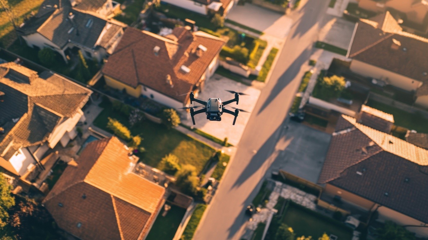
Property surveys and land assessments have traditionally been time-consuming and labor-intensive tasks. Surveyors, land developers, and urban planners have relied on manual tools, maps, and equipment to measure and assess land. However, the introduction of aerial drone services has completely changed how these tasks are performed, making them faster, more accurate, and cost-effective. But how How Drones Are Changing the Landscape of Property Surveys and Land Assessments

How Drones Are Changing the Face of Property Valuation in Commercial Real Estate

drone

Property valuation has always been a vital part of the commercial real estate industry. Traditional methods of property assessment can be time-consuming, labor-intensive, and sometimes limited in their accuracy. However, new technology is quickly changing how property evaluations are done. One of the most significant advancements is the use of drones. Professional drone services have How Drones Are Changing the Face of Property Valuation in Commercial Real Estate