teamA-GG

The Role of Drones in Enhancing Volumetric Computation Accuracy

Volumetric computations by a drone

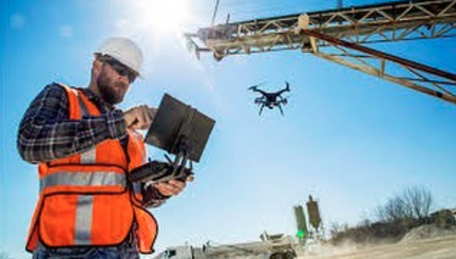
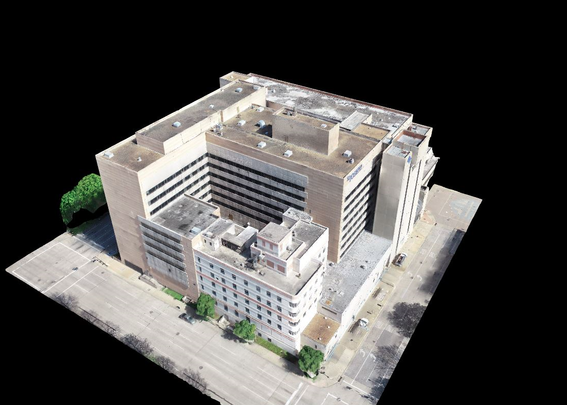
Drones have significantly changed the way industries approach measurements. Volumetric computations by a drone allow for precise calculations that were previously challenging to achieve. By harnessing advanced technology, businesses can gather accurate data efficiently. This blog will delve into how drones enhance volumetric computation accuracy and their practical applications. What Are Volumetric Measurements with Drones? The Role of Drones in Enhancing Volumetric Computation Accuracy

The Role of Drones in Real-Time Marketing Documentation

drone services austin

The global drone services market is rapidly growing, with drones playing a crucial role in real-time marketing documentation. Businesses, especially in cities like Austin, are leveraging drone technology to capture dynamic visuals that elevate their marketing efforts. Drone services in Austin are transforming how companies showcase their operations, products, and services. Real-Time Data Capture for The Role of Drones in Real-Time Marketing Documentation

The Role of Drone Services in Property Development Planning

drone services Houston

The use of drones in property development planning is growing rapidly. In recent years, professional drone services have become essential tools for developers, architects, and planners, providing real-time data and detailed views that were once costly and time-consuming to obtain. Drone services in Houston and other major cities are now widely used to streamline the The Role of Drone Services in Property Development Planning

How Drones are Enhancing Aerial Gas Leak Detection for Safer Operations

aerial drone photography services

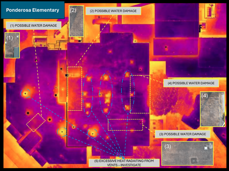
Gas leaks are responsible for numerous safety and environmental concerns, often resulting in significant risks to workers and communities. Recent advancements in drone technology have improved how gas leaks are detected and monitored, making operations safer and more efficient. Drone inspection companies are now leveraging aerial capabilities to identify leaks quickly and accurately. The Role How Drones are Enhancing Aerial Gas Leak Detection for Safer Operations

Aerial Photography for Events: Why Drone Companies Are a Game Changer

Houston aerial photography company

In recent years, aerial photography has transformed how we capture events. Drones are becoming a popular choice for documenting various occasions, from weddings to corporate gatherings. The key to their success is their capability to offer viewpoints that traditional photography cannot match. This is why, there are drone companies offering a range of aerial photography Aerial Photography for Events: Why Drone Companies Are a Game Changer

Why Drone Photography is Essential for Aerial Inspections

drone photography

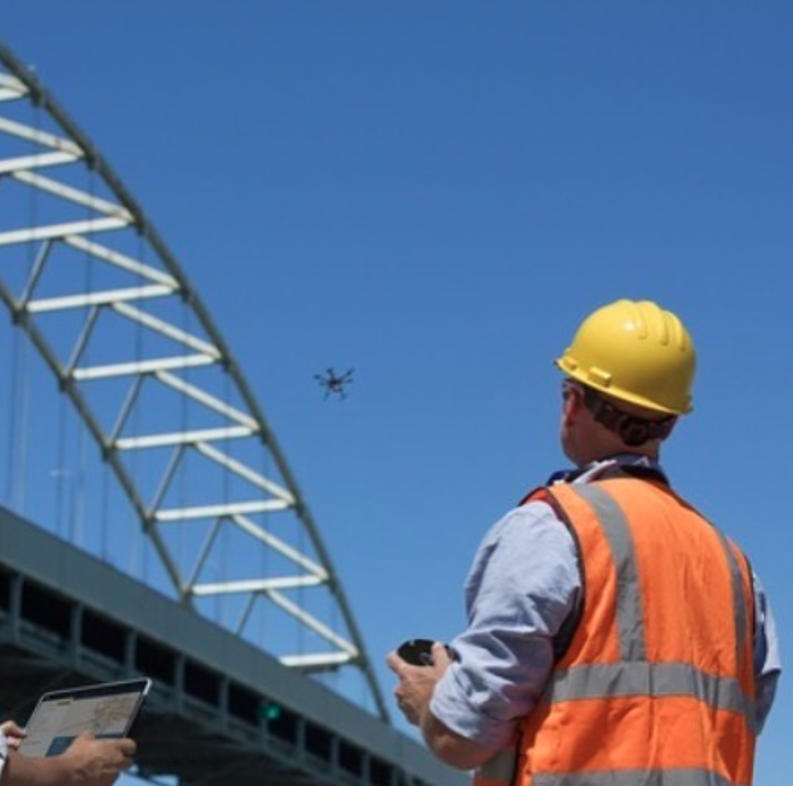
In many industries, inspecting hard-to-reach areas is a critical task. Traditionally, this required ladders, scaffolding, or even helicopters. Today, drone photography has transformed this process, offering a safer, more efficient alternative. With the advancement of technology, aerial inspection have become essential for thorough, accurate inspections. Enhanced Safety Safety is a major concern when performing inspections, Why Drone Photography is Essential for Aerial Inspections

How 3D Mapping Drones Are Revolutionizing Environmental Conservation

3d mapping drone

3D mapping drones have become a crucial tool in environmental conservation. These drones use advanced technology to create detailed three-dimensional models of landscapes and ecosystems. This capability allows conservationists to monitor and protect natural environments more effectively. What Are 3D Mapping Drones? 3D mapping drones are equipped with high-resolution cameras and sensors that capture detailed How 3D Mapping Drones Are Revolutionizing Environmental Conservation

Unlocking Potential: Drone Mapping and Its Role in Commercial Property Management

drone photo services

Drones have revolutionized many industries, and commercial property management is no exception. In today’s fast-paced world, the ability to gather accurate and timely data is crucial for effective property management. This is where drone technology steps in, offering unparalleled benefits through drone mapping and photography services. Let’s discover how Professional Drone Services of Texas can Unlocking Potential: Drone Mapping and Its Role in Commercial Property Management

Flying High: Why Drone Videography Is Essential for Marketing Commercial Properties

drone service near me

Drone technology has revolutionized the commercial real estate industry, offering a powerful tool for capturing stunning aerial footage and breathtaking visuals. Professional Drone Services of Texas, a leading provider of drone services near you, is at the forefront of this transformation, helping property owners and real estate professionals elevate their marketing efforts to new heights. Flying High: Why Drone Videography Is Essential for Marketing Commercial Properties

How Can Drone Aerial Photography Enhance Marketing Campaigns for Real Estate Businesses?

drone photography in Houston

In real estate marketing, catching the eye of potential buyers is key. This is where Professional Drone Services of Texas comes in. We offer an innovative solution with our expertise in drone aerial photography. Based in Houston, we specialize in capturing stunning aerial perspectives that can transform real estate marketing campaigns. Imagine showcasing a property How Can Drone Aerial Photography Enhance Marketing Campaigns for Real Estate Businesses?