Aerial Survey
Aerial surveying with drones delivers highly accurate geospatial data faster and more efficiently than traditional land surveying methods. By deploying unmanned aerial systems (UAS) equipped with high-resolution cameras, RTK/PPK GNSS positioning, and advanced processing software, drone aerial surveys provide precise measurements and detailed site intelligence across a wide range of industries. This modern surveying approach supports planning, design, construction, and asset management with reliable, repeatable results.
Drone aerial surveys are capable of achieving centimeter-level accuracy when combined with RTK or PPK positioning and surveyed ground control points. Captured imagery is processed into orthomosaic maps, digital surface models (DSM), digital terrain models (DTM), and dense point clouds. These deliverables meet the accuracy requirements for engineering-grade analysis, volumetric calculations, and site design validation.
We are ready for launch! We respond to most contact requests in a few hours! Submit a contact request or just drop us a line!
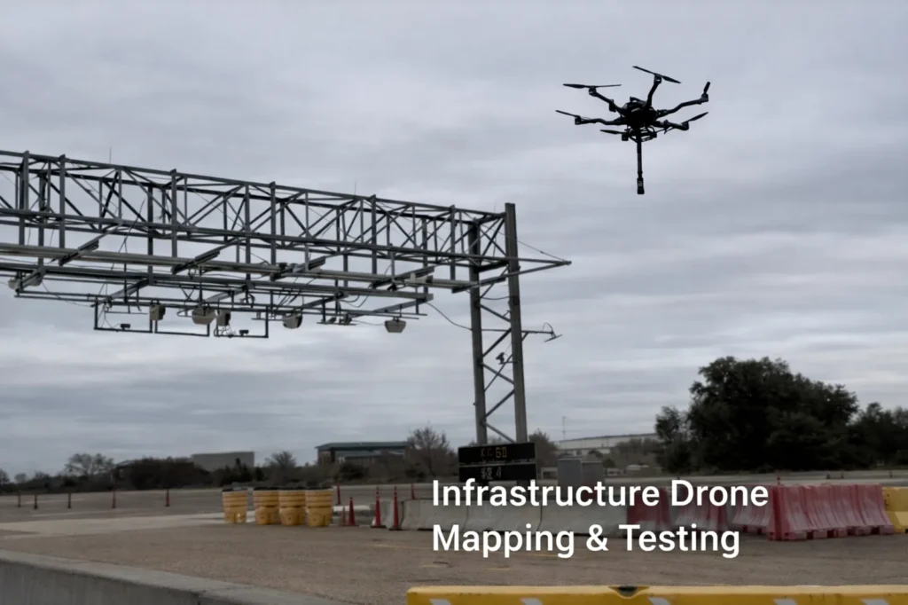
Aerial surveying drones are widely used for topographic surveys, boundary mapping, earthwork measurement, and land development planning. In construction, drone surveys track progress, calculate cut-and-fill volumes, and verify site conditions against design plans. In mining and aggregate operations, drones provide rapid stockpile measurements and pit mapping. Infrastructure projects rely on aerial surveys for corridor mapping, roadway planning, utility routing, and right-of-way analysis. Agriculture, environmental monitoring, and floodplain mapping also benefit from high-resolution aerial survey data.
Drone-based aerial surveys significantly reduce field time while increasing data density compared to conventional surveying techniques. Large areas can be surveyed quickly with minimal site disruption, producing comprehensive datasets that integrate with CAD, GIS, and BIM platforms. Deliverables can be overlaid with design files, annotated for reporting, and revisited for historical comparison throughout a project lifecycle.
Using drones for aerial surveying minimizes the need for survey crews to work in hazardous or difficult-to-access environments. Reduced field exposure improves safety while lowering labor and equipment costs. Faster turnaround times enable better project planning, quicker decision-making, and improved schedule control without compromising accuracy.