What is the Difference Between Drone LiDAR vs Photogrammetry?
When a project team asks for a topographic surface, stockpile volumes, or as-built site conditions, the real question usually is not whether to fly a drone. It is whether drone lidar vs photogrammetry is the better fit for the deliverable, schedule, and site conditions. That choice affects accuracy, field time, rework risk, and whether the final dataset is actually usable for engineering, inspection, or asset decisions.
For commercial work, there is no universal winner. LiDAR and photogrammetry both produce valuable aerial data, but they solve different problems well. The right method depends on vegetation, surface texture, required precision, line of sight, and what your team needs to extract after the flight.
Drone LiDAR vs Photogrammetry: What changes on the ground
Photogrammetry uses overlapping images to reconstruct a 3D model or map. The aircraft captures hundreds or thousands of high-resolution photos, and software identifies matching points across those images to calculate geometry. It is a proven method for orthomosaics, surface models, cut and fill tracking, facade context, and visual documentation.
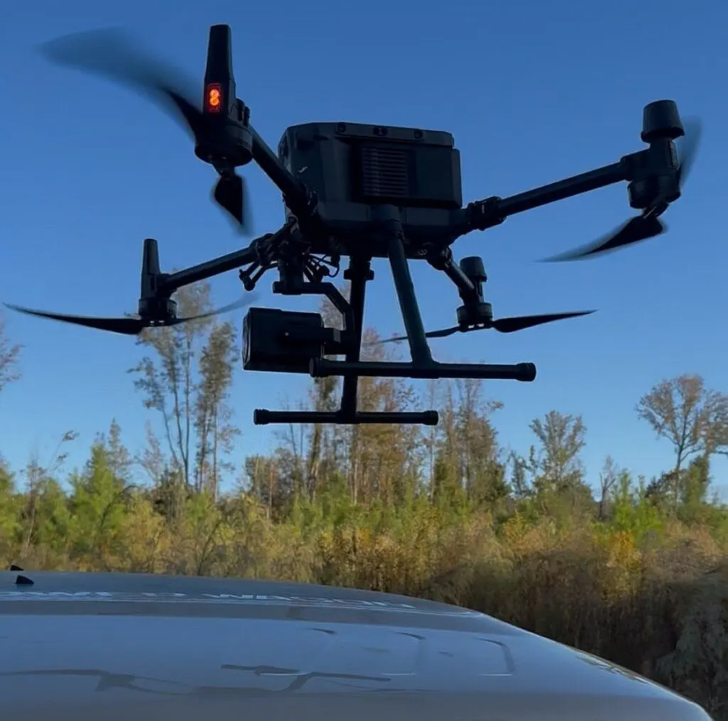
LiDAR works differently. A sensor emits laser pulses and measures the return time to calculate distance. Those returns become a point cloud with elevation information. Because the sensor is actively measuring rather than inferring shape from image overlap, LiDAR performs especially well where surfaces are irregular, contrast is limited, or vegetation obscures the ground.
That difference matters in the field. On an active construction site with exposed soil, clear edges, and visible grading, photogrammetry may provide everything the team needs at a lower cost. On a corridor with brush, tree cover, and inconsistent ground visibility, LiDAR often becomes the more reliable option because it can produce a cleaner model of the terrain beneath vegetation.
Where photogrammetry is the better business decision
Photogrammetry is often the practical choice when the site is open, well defined, and visually accessible. Large commercial developments, laydown yards, rooftops, aggregates, and progress documentation programs are common examples. If the primary need is an orthomosaic, a textured 3D model, or regular condition tracking, photogrammetry delivers strong value.
It also offers a visual advantage. Because the output is built from photographs, stakeholders can review a site in a way that feels intuitive. Owners, contractors, and insurers often prefer image-based products when they need to verify conditions quickly without interpreting dense point cloud data. For progress reporting and stakeholder communication, that clarity matters.
Cost can also favor photogrammetry. In many cases, the sensor payload and processing workflow are more economical than LiDAR. That makes it attractive for recurring monitoring, broad site documentation, and projects where budget sensitivity is real but accuracy still matters.
The trade-off is that photogrammetry depends heavily on visible features and favorable surface conditions. Uniform surfaces, reflective materials, deep shadows, water, and dense vegetation can reduce model quality. If the ground cannot be seen clearly, the software cannot reconstruct it with confidence.
Where LiDAR earns its premium
LiDAR typically costs more, but there are projects where that premium prevents bigger downstream costs. Civil engineering, utility corridor mapping, infrastructure planning, and terrain modeling in wooded areas are common examples. If your team needs earth surface data in conditions where image-based reconstruction struggles, LiDAR can reduce uncertainty.
It is also less dependent on lighting and surface texture than photogrammetry. That makes planning more flexible on sites where shadows, repetitive patterns, or low-contrast materials create problems for image matching. For operators responsible for schedule certainty, that consistency is often worth more than the lower upfront cost of an image-only mission.
LiDAR point clouds are especially useful when the deliverable must support design, measurement, or detailed terrain analysis. The value is not in having more data for its own sake. The value is in getting data that remains dependable when the site is complex.
That said, LiDAR is not automatically more useful just because it is more advanced. If the client really needs a current orthomosaic for coordination, marketing, or monthly progress verification, LiDAR alone may not be the best fit. High-performance data still has to match the operational need.
Accuracy in drone lidar vs photogrammetry
Accuracy is where many buyers get oversimplified answers. Both methods can produce highly accurate results when planned correctly, flown under the right conditions, and tied to quality control on the ground. Neither method should be judged by sensor type alone.
Photogrammetry can achieve excellent relative and absolute accuracy on suitable sites, especially with proper control and check points. On open terrain with good image overlap and stable lighting, it can support measurement workflows very well. For many construction and earthwork applications, it is more than sufficient.
LiDAR often has the advantage when the site conditions are working against image reconstruction. Ground penetration through vegetation is the obvious example, but not the only one. Steep terrain transitions, low-texture surfaces, and areas with difficult visual geometry can also favor LiDAR.
The more practical way to think about accuracy is this: what conditions are likely to degrade the dataset, and what tolerance can the project absorb? If the cost of missing grade, misreading terrain, or sending crews back into the field is high, the more resilient capture method may be the better choice even if the flight itself costs more.
Deliverables matter more than sensor specs
Commercial buyers do not need raw data for its own sake. They need outputs that fit a workflow. That is where the conversation should shift from technology to deliverables.
For example, an engineering team may need a classified point cloud, surface model, contours, breaklines, or volume calculations. A construction manager may need weekly orthomosaics and progress comparisons. An energy operator may need terrain context around access roads, substations, or corridor assets. The best capture method is the one that supports the final product with the least friction and the highest confidence.
In many cases, the strongest approach is not purely LiDAR or purely photogrammetry. Hybrid workflows are common because each method contributes something different. LiDAR can provide dependable elevation structure, while photogrammetry adds visual context and high-resolution imagery for review and communication.
Drone LiDAR vs photogrammetry for common project types
For open construction sites, photogrammetry is often the first choice. It performs well for progress tracking, orthomosaics, stockpile calculations, and general site visibility. If the surfaces are visible and the tolerances are aligned with image-based mapping, it is efficient and cost effective.
For heavily vegetated land, transmission corridors, and pre-development terrain mapping, LiDAR usually has the advantage. Ground visibility is the deciding factor. If the purpose is to understand the bare earth rather than the canopy, LiDAR is often the more dependable option.
For building exteriors, facades, and visually rich 3D site context, photogrammetry often produces more accessible outputs. The image texture helps owners and project teams review conditions faster. For industrial settings with structural complexity, the answer may depend on whether the priority is visual inspection context or dimensional modeling through difficult geometry.
For infrastructure and utility environments, the choice often comes down to obstruction, vegetation, and the required engineering confidence. This is where a service provider with experience in operational sites can save time by recommending the right workflow before mobilization.
Cost, speed, and the risk of choosing wrong
The cheaper survey is not always the lower-cost decision. If a photogrammetry mission fails to reveal terrain under vegetation, you may still need a second mobilization. If a LiDAR deployment delivers data depth your team never uses, you paid for capability that did not improve the outcome.
Speed also has two parts. There is flight speed, and there is decision speed. A dataset that processes quickly but creates doubt in the office slows the project down. A more specialized capture that answers the question the first time can be faster where it counts.
That is why method selection should start with the use case, not the buzzword. Ask what must be measured, what conditions exist on site, what tolerance is required, and how the output will be used by engineers, estimators, inspectors, or project managers. The right answer becomes clearer from there.
For teams managing commercial assets, infrastructure, and active jobsites, the best aerial mapping program is the one that produces decision-grade data without creating extra interpretation work. Sometimes that is photogrammetry. Sometimes it is LiDAR. And sometimes the smartest move is using both so the field data supports the real job ahead of it.
If you are evaluating a site, start with the deliverable you need and the conditions you cannot control. The right capture method should reduce uncertainty, not just collect data.