Drone Video for Roofing and Façade Inspections in Urban Projects

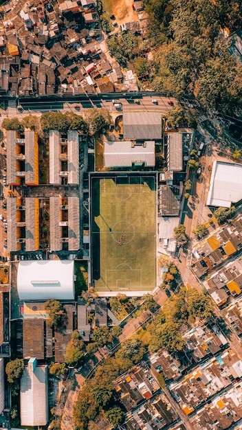
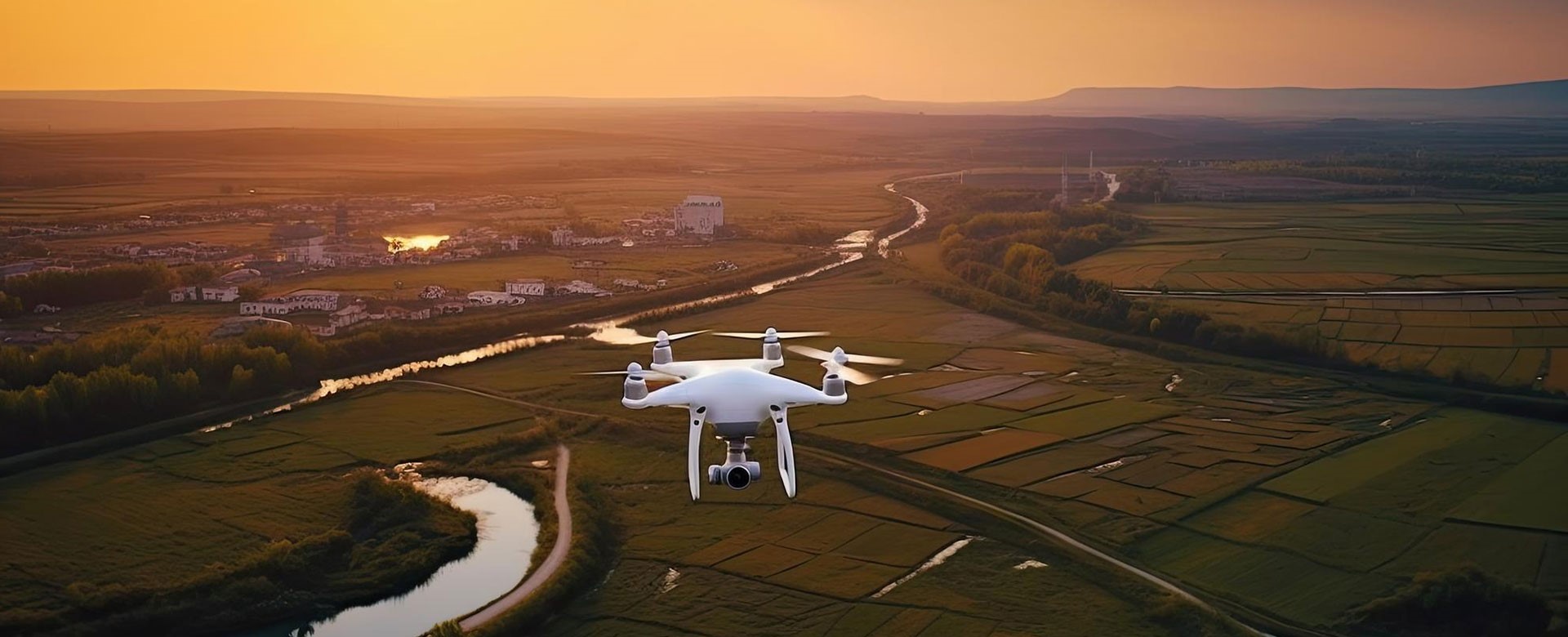
In the middle of a city packed with tall buildings and tight streets, inspecting a construction site isn’t easy. Manual inspections often mean renting lifts, climbing ladders, and blocking traffic. That’s where aerial tech steps in. Drones are now a smart option for getting a close look at rooftops and building exteriors—fast, safe, and without … Drone Video for Roofing and Façade Inspections in Urban Projects


