Why Use Drones for Infrastructure?
Why use drones for infrastructure? They improve safety, speed, accuracy, and compliance while delivering decision-grade data for asset teams.


Why use drones for infrastructure? They improve safety, speed, accuracy, and compliance while delivering decision-grade data for asset teams.
Learn how to inspect industrial roofs safely and accurately with a practical process for finding damage, documenting issues, and planning repairs.
Substation thermal anomaly detection helps utilities find overheating assets early, reduce outages, improve safety, and support faster maintenance planning.
See an industrial tank inspection example with drone-based workflows, defect findings, and decision-grade deliverables for safer, faster asset review.
Commercial real estate aerial photography helps owners, brokers, and developers document sites, market assets, and make faster decisions.
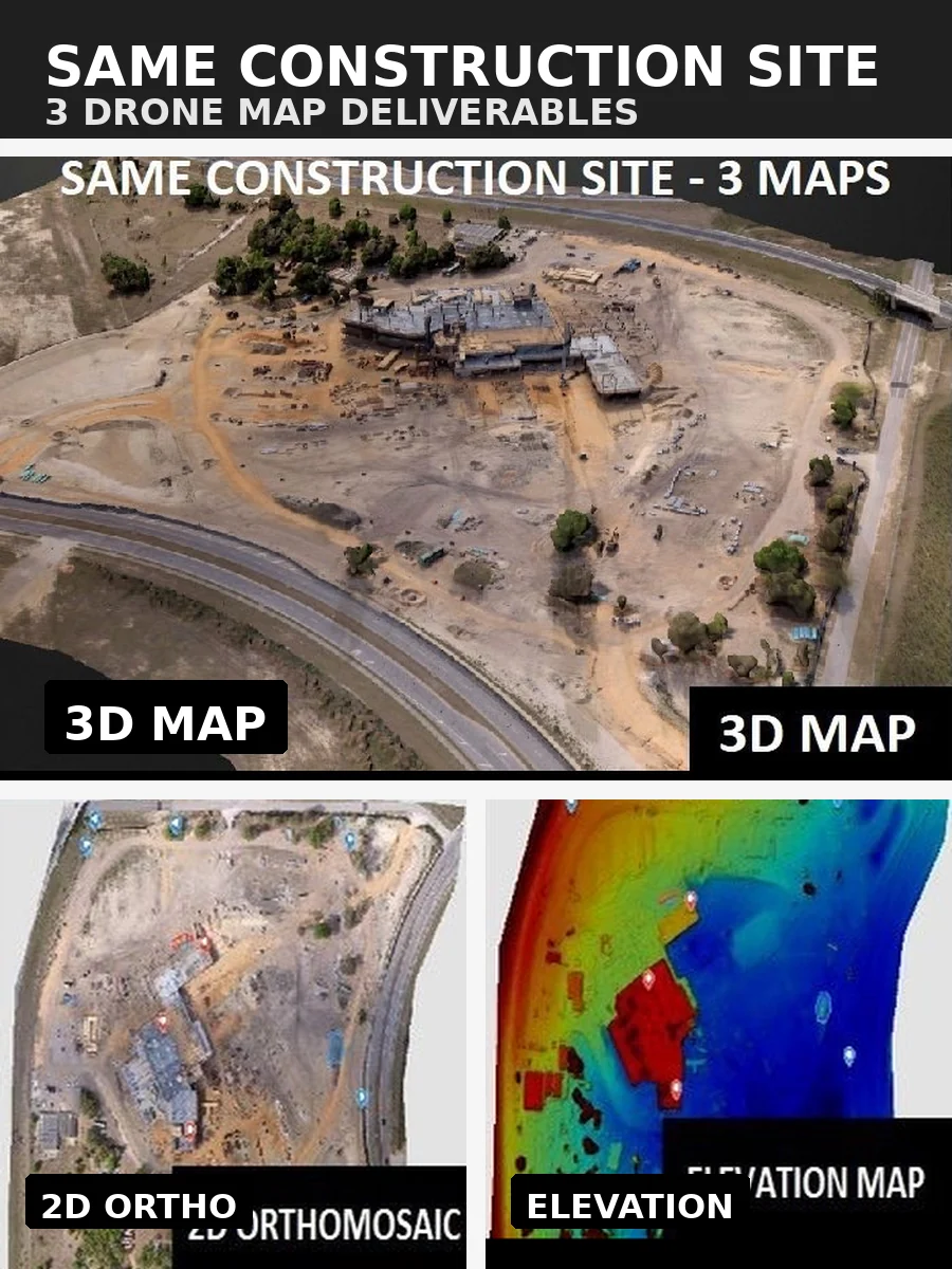
Learn how to document jobsite conditions with photos, drone data, logs, and workflows that support compliance, claims, and better project decisions.