Professional Drone Services of Texas is proud to offer FAA-Approved, Fully Insured Competitively priced service to San Antonio and the greater Texas hill country area.
Our services include
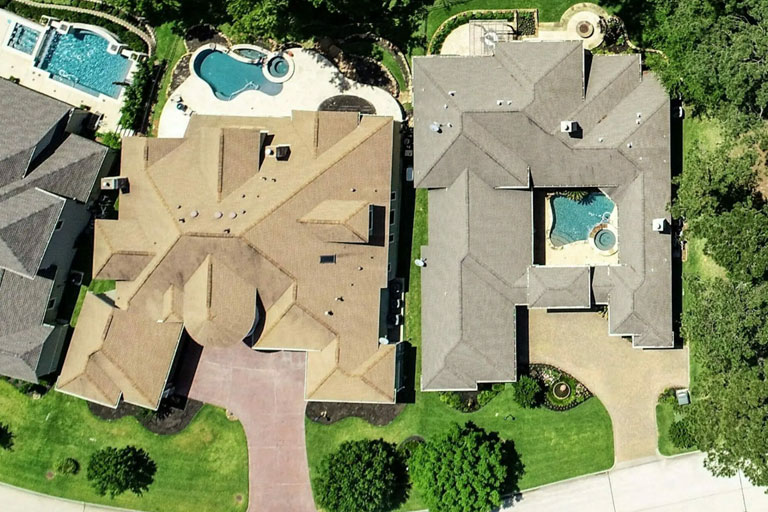
Real Estate Drone Photography
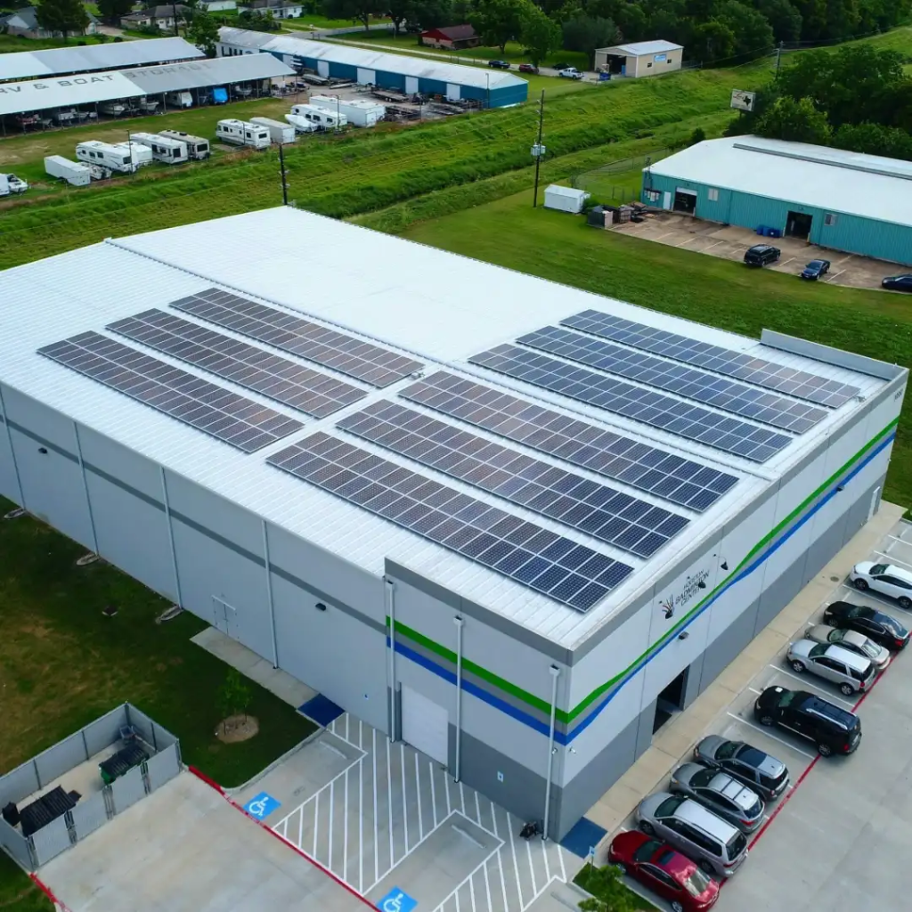
Arial Roof Inspections
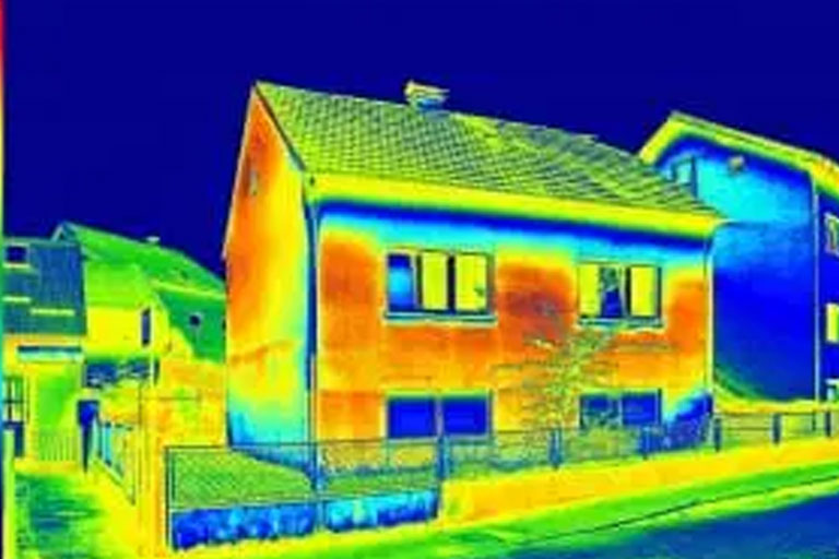
Arial Thermal Imaging
Drone Photogrammetry
and More…
From Real Estate and Roofing Inspections to Off Shore Platforms and Construction. We have what it takes to provide air support to all of Dallas industries.
Our Drones are capable of recording High Definition video with extreme clarity and detail We also offer thermal inspection utilizing FLIR technology. Learn More
Contact Us to schedule your flight. We can accommodate emergency situations and offer rush service.
Dallas, Are you ready to get started?
We are ready for launch! We respond to most contact requests in a few hours! Submit a contact request or just drop us a line!
With a highly skilled, experienced and certified team of professional, our drone aerial photography company does an incredible job at every given project. As a matter of fact, we are insured up to a million dollars, which makes us a secure company. Our pilots and operations are well trained and are FAA-approved to fly these small, unmanned drones commercially. Even better is the affordability and promptness of our drone services.
With high-resolution drone maps and models, roof inspection and measurement becomes safer, streamlined, and more accurate. Here are some of the benefits of leveraging a drone solution in the solar, insurance, and roofing sectors:
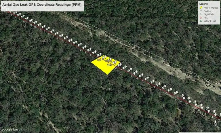
Professional Drone Services of Texas provides Unmanned Aerial Gas Leak Detection services that consistently sense, trace, and measure methane leaks. From gas producing wells and gathering lines to transmission and distribution pipelines, PDS provides accurate data that is delivered safely, efficiently, and cost-effective to your leak detection programs
Among our many thermal imaging services is moisture detection and energy efficiency assessment for homes and commercial structures. Especially when done in conjunction with thermal photos and videos shot from the ground, aerial thermal imaging detects hidden moisture and energy loss.
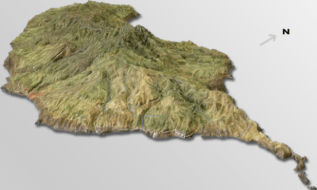
3D mapping services are available for building and landscape mapping. Drone mapping is ideal for mining sites, agricultural sites, and construction sites where you need measurements or high-resolution surveying. A satellite or plane can’t compete with a drone and aerial mapping software for generating data on demand.