Drone Photogrammetry Services That Perform
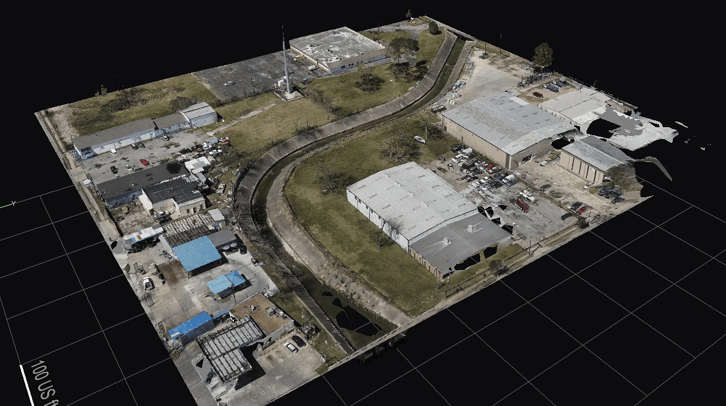
Drone photogrammetry services deliver fast, accurate site data for construction, energy, and infrastructure teams that need usable outputs.


Drone photogrammetry services deliver fast, accurate site data for construction, energy, and infrastructure teams that need usable outputs.
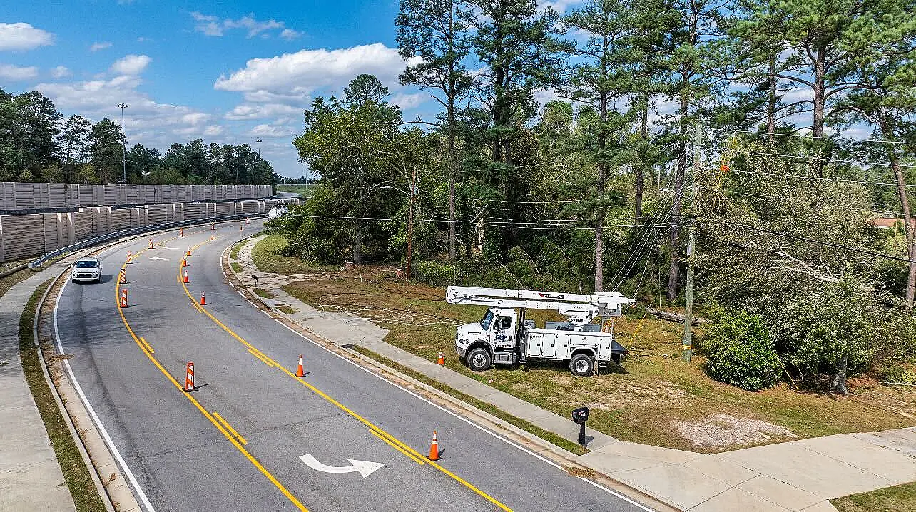
Rapid aerial visibility helps utilities assess damage and prioritize restoration. When major storms strike, utilities face an enormous challenge: restoring power safely and quickly while keeping customers informed during moments of uncertainty. In recent years, drones have emerged as one of the most impactful tools in modern storm response—not only improving operational efficiency, but also … Drones for Utility Storm Response
Why FPV Drone Tours Are Transforming Modern Marketing In today’s competitive digital landscape, capturing attention quickly is everything. Traditional photos and standard drone videos are no longer enough to stand out. That’s where FPV (First-Person View) drone tours and marketing videos come in — offering a dynamic, immersive experience that puts viewers directly inside your … FPV Drones for Marketing
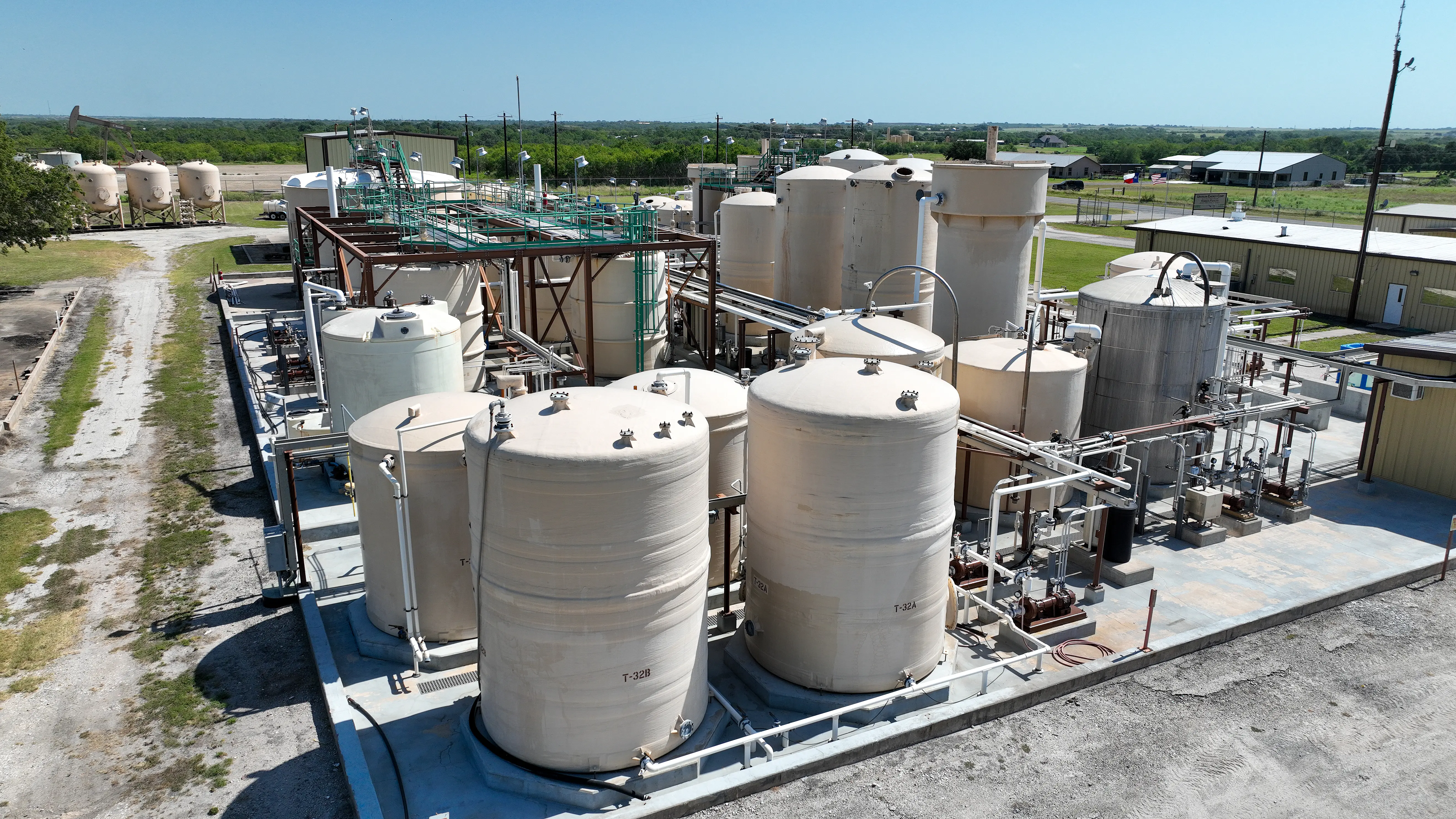
Drone-based aerial gas leak detection is rapidly becoming a critical tool for methane emissions monitoring, pipeline integrity management, and industrial safety. By integrating advanced gas sensors with uncrewed aerial systems (UAS), operators can detect, localize, and quantify gas leaks faster and more safely than traditional ground-based inspection methods. As regulatory pressure and ESG requirements increase, … Drone-Based Aerial Gas Leak Detection for Methane and Hydrocarbon Monitoring
Smart cities are growing faster than ever, and city planners need efficient ways to understand urban spaces. This is where drone video services in Dallas come into play. By capturing high-quality aerial footage, drones offer a fresh perspective that traditional surveying methods struggle to match. From tracking construction progress to visualizing city layouts, drones provide … Are Drone Video and Imagery Services the Key to Scalable Smart City 3D Mapping?
Urban planning is changing fast, and technology is leading the charge. One of the most exciting tools in this transformation is drone video services. As part of the broader field of drone commercial services, these technologies are revolutionizing how we capture dynamic cityscapes and build detailed maps. Drones are making it easier to understand urban … How Drone Commercial Services Are Revolutionizing Surveying and Mapping