The future of methane monitoring technology is shifting toward faster detection, better quantification, and decision-grade data for field action.
Read More
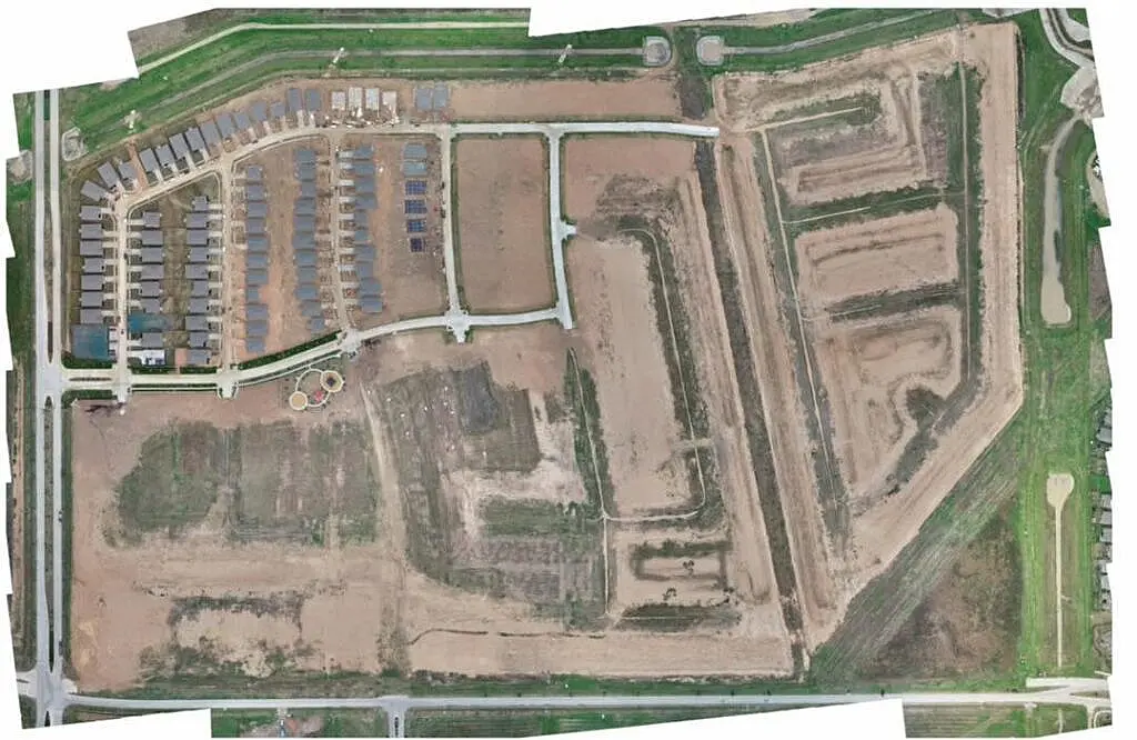
What Does Drone Photogrammetry Really Mean?
What is drone photogrammetry accuracy? Learn what affects map and model precision, expected tolerances, and when survey-grade results are possible.
Read More
What is the Difference Between Manned Aircraft vs Drone Surveys?
Compare manned aircraft vs drone surveys for mapping, inspections, and asset oversight. Learn where each fits best for speed, scale,...
Read More
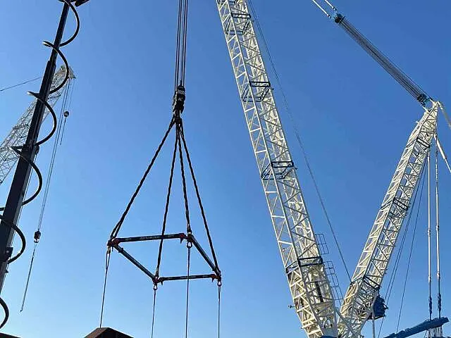
Why Use Drones for Infrastructure?
Why use drones for infrastructure? They improve safety, speed, accuracy, and compliance while delivering decision-grade data for asset teams.
Read More

How Do You Inspect Industrial And Commercial Roofs?
Learn how to inspect industrial roofs safely and accurately with a practical process for finding damage, documenting issues, and planning...
Read More
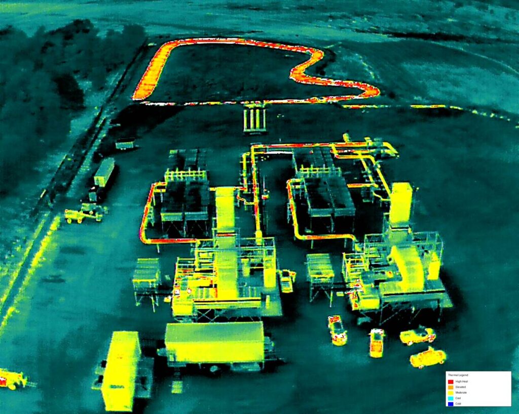
How Is A Substation Thermal Anomaly Detected?
Substation thermal anomaly detection helps utilities find overheating assets early, reduce outages, improve safety, and support faster maintenance planning.
Read More
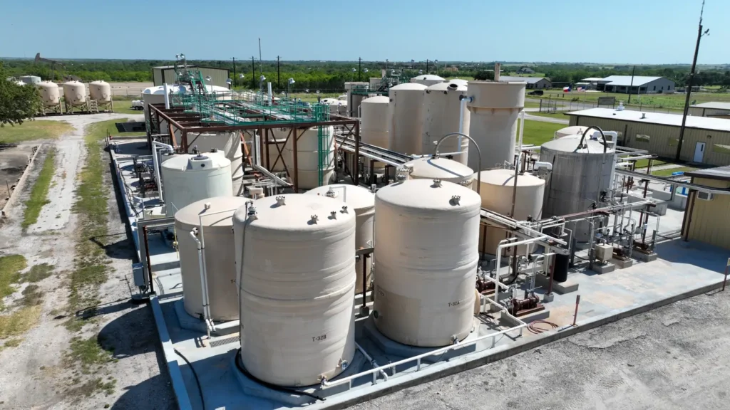
How Is A Industrial Tank Inspection Performed?
See an industrial tank inspection example with drone-based workflows, defect findings, and decision-grade deliverables for safer, faster asset review.
Read More
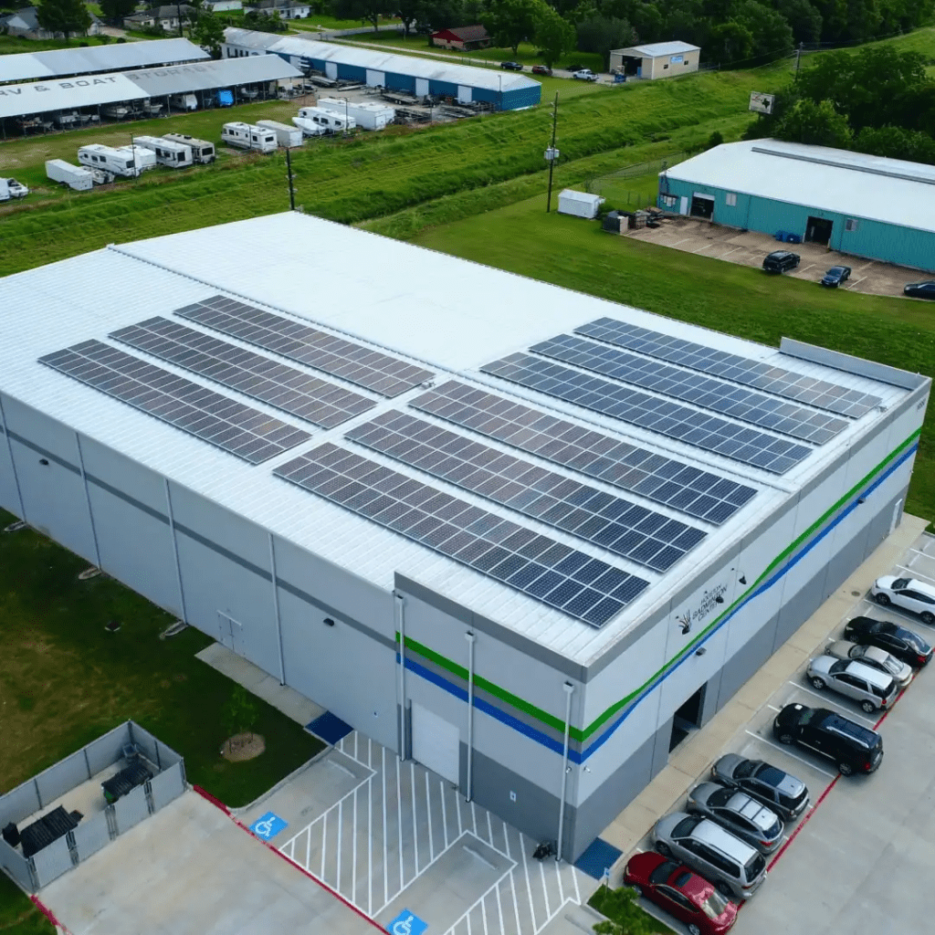
Does Commercial Real Estate Aerial Photography Really Work?
Commercial real estate aerial photography helps owners, brokers, and developers document sites, market assets, and make faster decisions.
Read More
How Do You Document Commercial Jobsite Conditions?
Learn how to document jobsite conditions with photos, drone data, logs, and workflows that support compliance, claims, and better project...
Read More

What Does A Facility Condition Documentation Checklist Actually Do?
Use this facility condition documentation checklist to capture accurate site data, support compliance, reduce disputes, and speed decisions.
Read More

Do Roof Moisture Mapping Services Cut Risk?
Roof moisture mapping services help commercial owners find trapped water fast, reduce repair costs, and make better reroofing decisions.
Read More

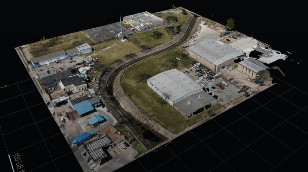
What Does Drone Reality Capture Actually Mean?
A practical drone reality capture guide for construction, energy, and infrastructure teams that need accurate, decision-grade site data fast.
Read More
What Is Drone Asset Inventory Management?
Drone asset inventory management gives teams faster visibility, cleaner records, and decision-grade data for inspections, compliance, and planning.
Read More
What Are The Best Drone Data Deliverables?
Learn which best drone data deliverables actually support inspections, mapping, compliance, and faster project decisions across commercial sites.
Read More
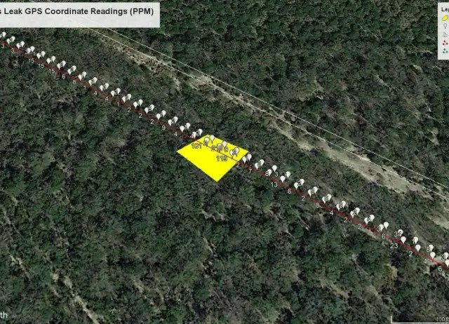
What Does An Aerial Methane Survey In Texas Deliver?
Learn how an aerial methane survey Texas project works, what data you receive, and where drone-based detection fits compliance and...
Read More
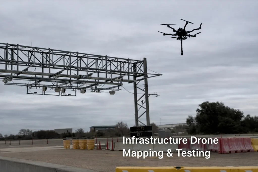
Are Texas Infrastructure Drone Services Delivering Enough Value?
Texas infrastructure drone services deliver fast, decision-grade data for inspections, mapping, compliance, and project oversight across complex assets.
Read More
Can You Use Drone Mapping For Highway Expansion Projects?
Drone mapping for highway expansion gives teams faster site intelligence, accurate earthwork data, and better documentation for planning and construction.
Read More
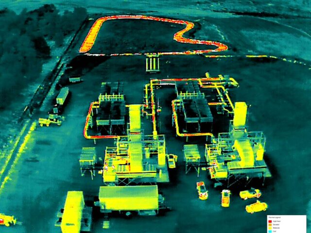
Is There A Practical Guide to Industrial Thermal Imaging?
A practical guide to industrial thermal imaging for inspections, compliance, and asset management with accurate, decision-grade results.
Read More
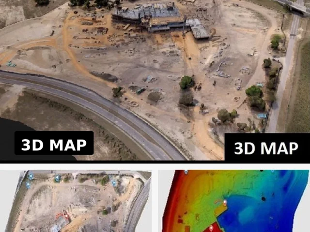
How Do You Map Construction Earthwork?
Learn how to map construction earthwork with drone data, control points, and volume models that support planning, tracking, and payment...
Read More
What Do Engineers Expect from Professional Drone Services in Texas?
Engineering drone services Texas teams use for mapping, inspection, thermal imaging, and compliance-ready data that supports faster decisions.
Read More